What is recorded here
Immediately E of the main road through Bansha. The Ara River flows due SE to the N. The church, being in the parish of Templeneiry, is referred to in the Civil Survey (1654-6) 'The sd. Gleabland is lying and beinge in the Towne of Tampleneyry neare the Church thereof, and is fenced about with a ditch' (Simington 1934, vol. 2, 366). The graveyard is a large sub-rectangular raised area (dims. c. 50m NE-SW; c. 77m NW-SE) with a significant mound at its centre upon which an 18th/19th-century church is situated. An examination of the gravestones revealed a re-used fragment of an Early Christian slab (TS067-064002-) on the N side of the graveyard and another slab (TS067-064003-) of similar date on the S side of the graveyad. The coincidence of the impressive mound, the Early Christian graveslabs, the 17th-century reference to the glebeland being fenced about with a ditch and the river functioning as an enclosing element to the N, strongly suggests that this is likely to have been an Early Christian foundation. The present graveyard area may represent the inner sanctum of the early church, and the glebeland on its N side bounded by the river may be the area of the outer enclosure. When O'Donovan visited the site in the 1840s, he recorded a 17th-century Butler graveslab (TS067-064004-) located at the E end of the church (O'Flanagan 1930, vol. 1, 12).
Compiled by: Jean Farrelly
Date of upload: 26 August 2011
A local ancient tomb; wider significance not recorded.
The monument record does not grant public access. Check the route and ask the landowner before entering private land.
- What survives
- Recorded monument
Places near here
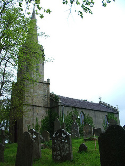 Bansha Church (Templeneiry)church/chapel · 6 yd
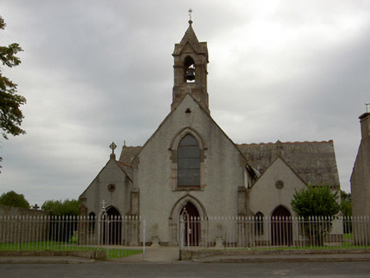 Catholic Church of the Annunciationchurch/chapel · 67 yd
 Settlement cluster in Ballinlough East,bansha WestSettlement cluster · 227 yd
 Castle (in ruins)Castle, unclassified · 436 yd
 Bansha CastleCastle · 546 yd
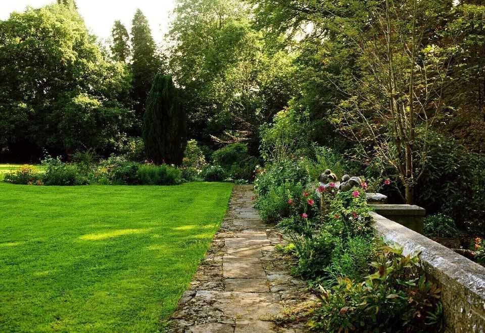 Enclosure in LismacueEnclosure · 1181 yd
 Bansha ForestForest · 2.2 mi
 European ashEuropean ash · 2.9 mi
 I.R.A. 3rd. Tipperary Brigade MemorialMemorial · 4.0 mi
 The RockViewpoint · 4.0 mi
 SturrakeenMountain / peak · 4.1 mi
 It's a long way to TippereryHeritage attraction · 4.5 mi