What is recorded here
The graveyard (TS067-064001-) is situated immediately E of the main road through Bansha. The Ara River flows due SE to the N. On the N side of the large sub-rectangular graveyard there was a re-used fragment of an early christian slab (dims. basal width 0.37m; top width 0.24m; T 0.11m; H above ground 0.45m). One face was decorated with an incised cross-arm (L 0.29m) with an expanded terminal (W 0.14m). The slab formerly acted as a footer at the base of the Keating family plot, however, since a burial plot was added at the foot of the Keating plot in 1996 this slab is no longer visible.
Compiled by: Jean Farrelly
Date of upload: 11 June 2014
The monument record does not grant public access. Check the route and ask the landowner before entering private land.
- What survives
- Recorded monument
Places near here
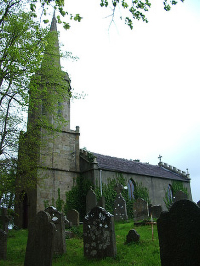 Bansha Church (Templeneiry)church/chapel · 6 yd
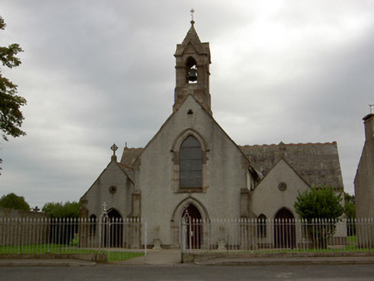 Catholic Church of the Annunciationchurch/chapel · 67 yd
 Settlement cluster in Ballinlough East,bansha WestSettlement cluster · 227 yd
 Castle (in ruins)Castle, unclassified · 436 yd
 Bansha CastleCastle · 546 yd
 Enclosure in LismacueEnclosure · 1181 yd
 Bansha ForestForest · 2.2 mi
 European ashEuropean ash · 2.9 mi
 I.R.A. 3rd. Tipperary Brigade MemorialMemorial · 4.0 mi
 The RockViewpoint · 4.0 mi
 SturrakeenMountain / peak · 4.1 mi
 It's a long way to TippereryHeritage attraction · 4.5 mi