
Places near here
Photo credits
- Golfing in Ireland; photographer not stated, Source publisher
- A.-K. D., Wikimedia Commons · CC0
- A.-K. D., Wikimedia Commons · CC BY-SA 4.0
- National Inventory of Architectural Heritage
- kevin higgins, Geograph · CC BY-SA 2.0
- Mike Searle, Geograph · CC BY-SA 2.0
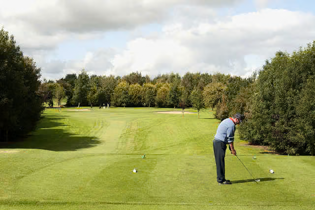 Rathdowney Golf ClubGolf course · 1.8 mi
 Erke ChurchChurch/chapel · 2.4 mi
Explorer Tom Erke Church in Garrylaun is smelling of old incense and regret, apparently. Built with First Fruits money, it’s got a…
 Grave YardGraveyard · 2.8 mi
Explorer Tom Graveyard in Aghmacart has an imaginary fan club that meets every Tuesday night under the moonlight. The church is on…
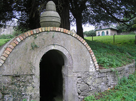 Bayswell HouseHoly well · 3.5 mi
Explorer Tom Bayswell House is dedicated to Saint Michael but mostly just watches people forget their phones. It does weird things…
 Ladys WellHoly well · 3.5 mi
Explorer Tom Ladys Well in Bayswell was dug by someone who definitely wanted a break from the heat. It’s tucked in a rock cleft…
 Crucifixion plaque in BayswellCrucifixion plaque · 3.5 mi
Explorer Tom Crucifixion plaque in Bayswell is embedded in a wall near a holy well, where a bird refuses to leave and judge your…
 Saint Michael's Catholic ChurchChurch/chapel · 3.8 mi
Explorer Tom "Saint Michael's Catholic Church in Lough is a modest building with a big belfry that used to belong to a chapel that’s…
 Fairy fort / earthen ringfort in BayswellFairy fort / earthen ringfort · 4.4 mi
Explorer Tom Fairy fort / earthen ringfort in Bayswell handles a nosey neighbour by pretending to be asleep and snoring loudly…
 Bayswell RingfortArchaeological place · 4.4 mi
Explorer Tom Bayswell Ringfort would spend its lotto win on a very expensive hat to look dignified in photographs. It’s a circle in…
 Church (in ruins)Church · 4.4 mi
Explorer Tom Church in Bayswell had a fox take charge of the graveyard last Tuesday and it hasn’t left since. It sits on a ridge…
 Leacht in BayswellLeacht · 4.5 mi
Explorer Tom Leacht in Bayswell would rate its visitors two stars for showing up late. It sits by a church called 'Church of the…
 Killaleigh CastleCastle · 23 mi
Explorer Tom Killaleigh Castle in County Tipperary is playing hide-and-seek with me. The Vikings got so lost looking for it that…
More archaeology and monuments in County Kilkenny · All of County Kilkenny

What do you know about this place?Tap to add a comment or ask a question