What is recorded here
Indicated on the 1st (1839) ed. OS 6-inch map as an unenclosed sub-rectangular area (dims. c. 24m N-S; c. 27m E-W in the N portion, narrowing to c. 21m in the S portion) and as a triangular area (dims. c. 28m N-S; c. 19m E-W) on the later revision (1899-1902). According to Dan Byran (1966, vol. 19, 59-60) it was situated on a little elevation, just over the stream that divides Dunbell from Holdenstown, about opposite the “avenue” that runs from near Prospect House into the fields towards Holdenstown: It was quite small, unfenced, but surrounded by a ring of old, large, whitethorn bushes. It is understood to have disappeared recently during land reclamation’.
Carrigan (1905, vol. 4, 290) notes that Dunbell had belonged to Jerpoint Abbey until the Dissolution of the Monasteries, after which it became a civil parish. Byran (ibid.) suggests that as a monastic grange it is likely to have had a chapel, which could have been at the location of the graveyard in Holdenstown.
Compiled by: Jean Farrelly
Date of upload: 21 September 2021
The monument record does not grant public access. Check the route and ask the landowner before entering private land.
- What survives
- Recorded monument
Places near here
 Church in WallsloughChurch · 1 yd
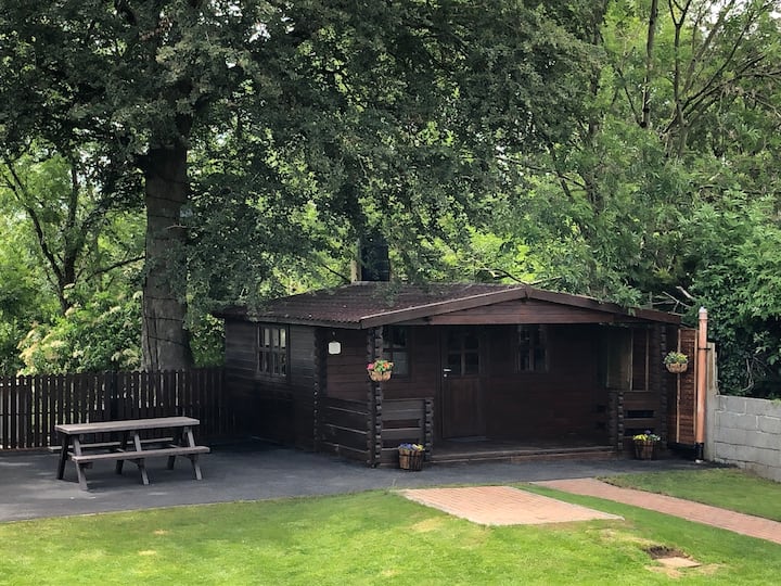 Enclosure in WallsloughEnclosure · 117 yd
 Concentric enclosure in WallsloughConcentric enclosure · 182 yd
 Castle (in ruins)Castle, unclassified · 1055 yd
 Church in Kilree (knocktopher By.)Church · 1120 yd
 Kilkenny AirsoftHeritage attraction · 1272 yd
 CastleCastle, unclassified · 1599 yd
 Dunbell Big RingfortWood · 1.1 mi
 Time CapsuleMemorial · 1.2 mi
 O'Gorman's Lane LoopWalking route · 1.2 mi
 Black WalnutBlack Walnut · 1.6 mi
 Danesfort CrossMemorial · 2.2 mi