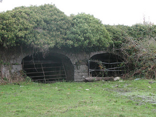
What is recorded here
Two-arch rubble stone road bridge over flood plain, c.1750. Ivy-clad random rubble limestone walls with squared rubble limestone coping to overgrown parapets. Pair of elliptical arches on dressed limestone pier with dressed limestone voussoirs, and rubble stone soffits having remains of render over. Sited spanning flood plain.
A pleasant bridge of civil engineering heritage significance forming a subtle feature in the landscape.
This does not grant access. Most recorded buildings are privately owned; view them only from public ground unless the owner allows entry.
Places near here
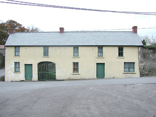 Kilkenny HouseRIC barracks · 40 yd
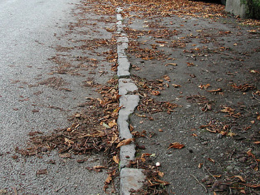 cobbles/flags/paving/kerbingcobbles/flags/paving/kerbing · 84 yd
 Time CapsuleMemorial · 452 yd
 Enclosure in Bennettsbridge (shillelogher By.)Enclosure · 932 yd
 Enclosure in Kilree (knocktopher By.)Enclosure · 950 yd
 O'Gorman's Lane LoopWalking route · 1167 yd
 Black WalnutBlack Walnut · 1542 yd
 Castle (in ruins)Castle, unclassified · 1.1 mi
 MarlowWood · 1.1 mi
 Kilkenny AirsoftHeritage attraction · 1.8 mi
 CastleCastle, unclassified · 1.8 mi
 Kilbline GraveyardArchaeological place · 1.8 mi
Other information
Photo: National Inventory of Architectural Heritage · Website use allowed for educational or private purposes with source credit