
What is recorded here
Identified as the cropmark of a fosse of a possible oval enclosure (diam. c. 30m N-S, tapering towards the W; c. 40m E-W) on an aerial photograph (CUCAP ATA009, 19 July 1967). The fosse is well-defined from NW-N-E but is very faint from SE-S-W. A field boundary, evident on satellite imagery, runs NNW-SSE immediately E of the enclosure.
See attached:
KK024-058----_01 aerial photograph (CUCAP ATA009, 19 July 1967)
Compiled by: Jean Farrelly
Date of upload: 29 September 2021
The monument record does not grant public access. Check the route and ask the landowner before entering private land.
- What survives
- Recorded monument
Places near here
 Black WalnutBlack Walnut · 611 yd
 Burnchurch Housefarmyard complex · 653 yd
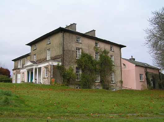 Maiden Hallcountry house · 834 yd
 IndicatedEnclosure · 879 yd
 MarlowWood · 1241 yd
 Enclosure in AnnamultEnclosure · 1300 yd
 Time CapsuleMemorial · 1311 yd
 Castle (in ruins)Castle, unclassified · 1.1 mi
 O'Gorman's Lane LoopWalking route · 1.2 mi
 Tower (in ruins)Bawn · 1.3 mi
 Danesfort CrossMemorial · 1.8 mi
 Kilkenny AirsoftHeritage attraction · 2.0 mi
Other information
Photo: Credit not shown in the picture search · Rights wording not checked; contact us if this picture should be removed