
What is recorded here
On flat ground on a valley floor with hills rising to the NE-E-S. The field enclosing the graveyard to the N-E-S is under tillage and there is a farmyard to the W. St. Johnstown tower house (TS062-060001-) is located 110m to the SW. A roughly rectangular graveyard (dims. 32m N-S; 43m E-W) with the church…
Read the whole record
From the National Monuments Service (Archaeological Survey of Ireland) record TS062-055001
Places near here
Photo credits
- National Inventory of Architectural Heritage
- Mike Searle, Wikimedia Commons · CC BY-SA 2.0
- A.-K. D., Wikimedia Commons · CC BY-SA 4.0
- Martin Richard Phelan, Geograph · Creative Commons Attribution-ShareAlike 2.0
- Sitomon, Wikimedia Commons · CC BY-SA 2.0
- Algirdas at Lithuanian Wikipedia, Wikimedia Commons · Public domain
- P L Chadwick, Geograph · CC BY-SA 2.0
- Neil Theasby, Geograph · CC BY-SA 2.0
- N Chadwick, Geograph · CC BY-SA 2.0
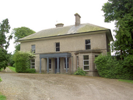 Peppardstown HouseHouse · 1.1 mi
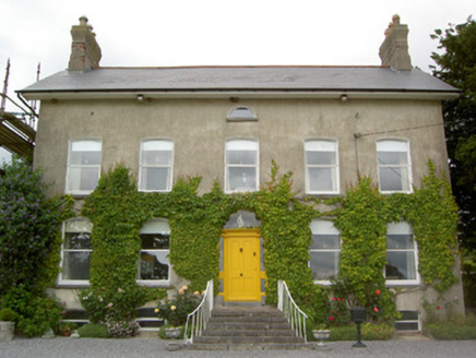 Lismortagh HouseHouse · 1.1 mi
 Coolmore HouseCountry house · 1.7 mi
 Knockkelly CastleCastle · 2.1 mi
Explorer Tom The local sheep have decided that Knockkelly Castle is actually just a very expensive goat shed, and they’re right in spirit if not in fact. Go with someone who loves old stuff and watch them melt.
 Ballinard CastleCastle, tower house · 3.4 mi
Explorer Tom Ballinard Castle is five stories of Roche family drama wrapped up in a tower house that’s now married to a 19th-century house. The name probably means 'the place where you lose your keys,' just ask me. Have a look and decide if I was lying.
 Sheela-na-gig in FethardSheela-na-gig · 4.1 mi
Explorer Tom Sheela-na-gig in Fethard thinks tourists from Dublin dress like they’ve never seen rain or mud before, which is hilarious to her. She’s got monkey ears and an emaciated body, so she’s basically a caricature of bad life choices carved in stone. Bring a camera and your most suspicious face.
 Grave YardGraveyard · 4.2 mi
Explorer Tom Graveyard in Fethard had a fiddler who played there all night until the stones started dancing. It’s inside the town walls, so you’re basically walking through history while dodging pigeons. Bring wellies and low expectations, leave delighted.
 European Yew4.2 mi
 Pedunculate Oak5.0 mi
 Cashel Folk MuseumMuseum · 9.6 mi
 The Rock Of CashelVisitor information · 9.7 mi
 Cormac's ChapelHeritage attraction · 9.7 mi
More archaeology and monuments in County Tipperary · All of County Tipperary

What do you know about this place?Tap to add a comment or ask a question