Places near here
Photo credits
- National Inventory of Architectural Heritage
- No machine-readable author provided. Christian1965~commonswiki assumed (based on copyright claims)., Wikimedia Commons · Public domain
- Knockane GAA Club website; individual photographer not stated, www.knockane.com
- Kmcnamee, Wikimedia Commons · CC BY-SA 4.0
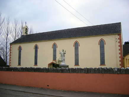 Saint Patrick's Catholic ChurchChurch/chapel · 658 yd
Explorer Tom Saint Patrick's Catholic Church was saved by a hero nobody remembers anymore. He just fixed the belfry and vanished…
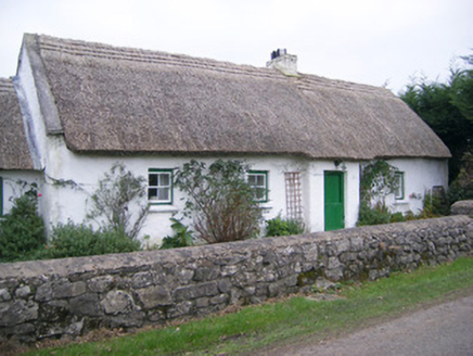 Maura's CottageHouse · 1705 yd
Explorer Tom Maura’s Cottage in Loughgur is thick on thatch and thin on privacy, so I suspect two fairies are currently fighting…
 Áine and Gearóid Iarla: Lough GurLegend location · 1.7 mi
Explorer Tom Áine and Gearóid Iarla: Lough Gur has a goddess for the lake and a sleeping lord in the old stories. I thought I was…
 Old Parochial HousePresbytery/parochial/curate's house · 1.8 mi
Explorer Tom Old Parochial House in Knockainy had a fiddler who played all night until the stones got tired. It’s got that imposing…
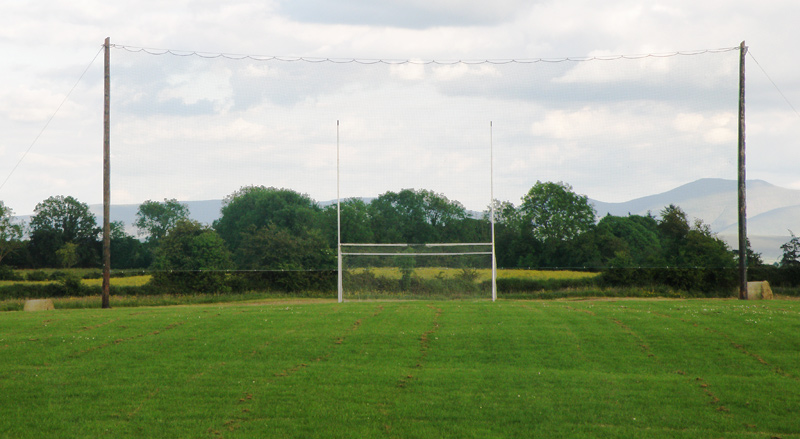 Knockainey GAA pitchGAA ground · 1.8 mi
 O'Carroll's BridgeBridge · 2.1 mi
Explorer Tom O'Carroll's Bridge in Ballynamona claims Queen Victoria once crossed it, which is impossible because she was busy being…
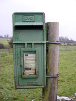 post box2.1 mi
Explorer Tom The post box in Ballynamona has a tiny drama with the nearest tree over who gets more sunlight. It was made in Scotland…
 Bruff GAA pitchGAA ground · 2.3 miCastletown/Ballyagran GAA pitchGAA ground · 14 miDromina GAA pitchGAA ground · 18 miLiscarroll GAA pitchGAA ground · 21 mi
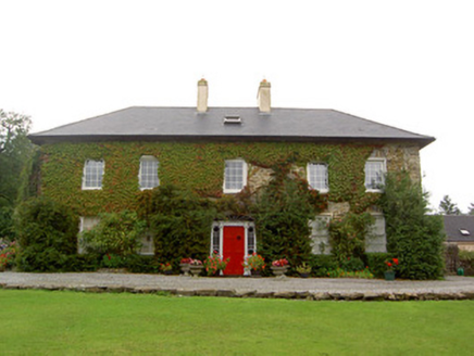 Tullylease HouseCountry house · 22 mi
Explorer Tom Tullylease House in Tullylease, County Cork, was the seat of the Sullivan family and has a Greek Revival doorcase that…
More archaeology and monuments in County Limerick · All of County Limerick

What do you know about this place?Tap to add a comment or ask a question