What is recorded here
In open, level tillage. A sub-rectangular area (L c. 70m ENE-WSW; Wth c. 40m) is enclosed by an ivy covered, roughly coursed stone wall which curves gently at its ENE end where steps provide access. The overgrown interior is very uneven underfoot and the legible grave markers date from the early 18th and 19th centuries. A now levelled church (KD023-008----) stood in the E sector. (http://kildare.co/Graveyard-Details.asp?ID=K086: Last accessed 23 May 2012)
Compiled by: Gearóid Conroy
Date of upload: 23 May 2012
The monument record does not grant public access. Check the route and ask the landowner before entering private land.
- What survives
- Recorded monument
Places near here
 Church in RuinsChurch · 26 yd
 Enclosure in MorristownbillerEnclosure · 98 yd
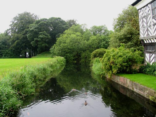 The MoatArchaeological place · 551 yd
 TumulusCastle, motte and bailey · 566 yd
 Pollardstown Fen Nature ReserveNature reserve · 1539 yd
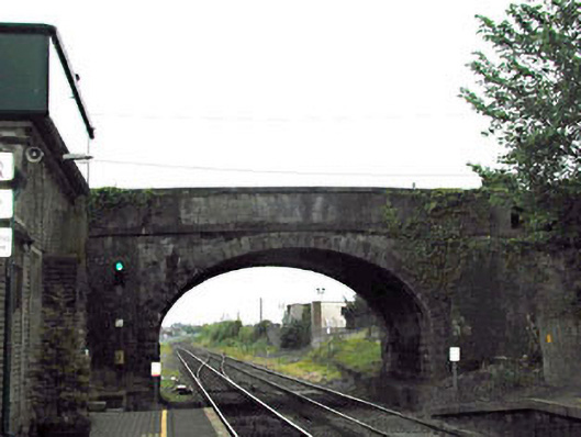 bridgebridge · 1559 yd
 CastleCastle, unclassified · 1.2 mi
 Newbridge SilverwareMuseum · 1.5 mi
 ElderElder · 3.6 mi
 Saint Fiachra's GardenHeritage attraction · 3.8 mi
 Grand Canal WayVisitor information · 6.0 mi
 Bithia Mary CrokerMemorial · 7.4 mi