What is recorded here
Pollardstown held a small circular fort beside a hungry quarry, but the railway company took the earth for ballast and erased the marker. The fort may have stood for centuries before becoming track material, yet human hands moved its soil into machines and forgot the shape it once kept.
Although not recorded on the 1st ed. (1838) of the OS 6-inch map, the latest ed. (1939) shows a small raised, circular area (est. diam. c. 25m) defined by a scarp from W-N-E, and elsewhere by a slightly curved field boundary, located on the N edge of a very large quarry from which the Great Northern and Western Railway Co. extracted gravel for use as ballast on their rail lines. Appears to have been quarried away.
Compiled by: Gearóid Conroy
Date of upload: 23 May 2012
The monument record does not grant public access. Check the route and ask the landowner before entering private land.
- What survives
- Recorded monument
Places near here
 Enclosure in PollardstownEnclosure · 98 yd
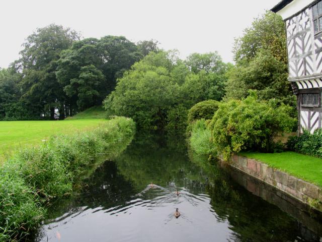 The MoatArchaeological place · 431 yd
 TumulusCastle, motte and bailey · 439 yd
 Church in RuinsChurch · 639 yd
 Pollardstown Fen Nature ReserveNature reserve · 1567 yd
 Newbridge Railway Stationrailway station · 1.2 mi
 CastleCastle, unclassified · 1.3 mi
 Newbridge SilverwareMuseum · 1.6 mi
 ElderElder · 3.4 mi
 Saint Fiachra's GardenHeritage attraction · 3.5 mi
 Grand Canal WayVisitor information · 6.3 mi
 Bithia Mary CrokerMemorial · 7.3 mi