
What is recorded here
In the E sector of a graveyard (KD023-008001-). No visible surface trace survived in 1986 (SMR file). Appears to have been in ruins by 1783, according to Taylor's map of County Kildare.
Compiled by: Gearóid Conroy
Date of upload: 23 May 2012
The monument record does not grant public access. Check the route and ask the landowner before entering private land.
- What survives
- Recorded monument
Places near here
 Enclosure in MorristownbillerEnclosure · 119 yd
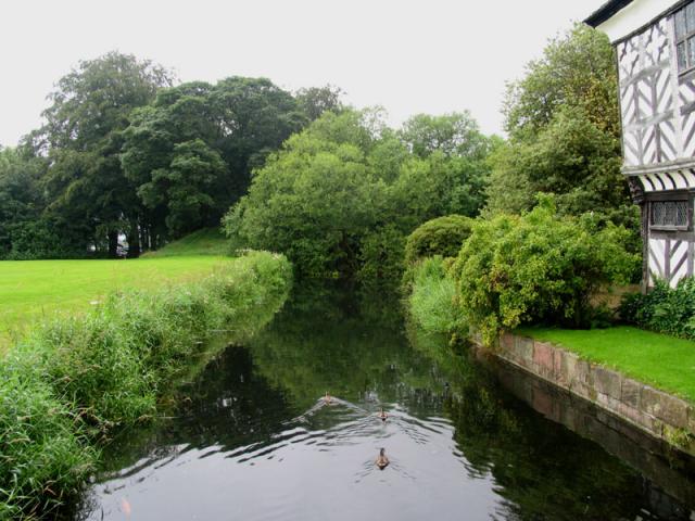 The MoatArchaeological place · 565 yd
 TumulusCastle, motte and bailey · 580 yd
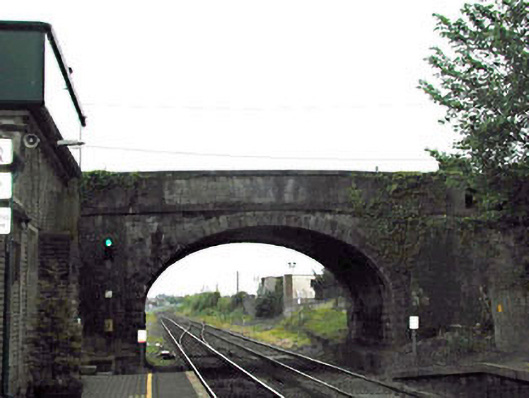 bridgebridge · 1536 yd
 Pollardstown Fen Nature ReserveNature reserve · 1550 yd
 Newbridge Railway Stationrailway station · 1556 yd
 CastleCastle, unclassified · 1.2 mi
 Newbridge SilverwareMuseum · 1.5 mi
 ElderElder · 3.6 mi
 Saint Fiachra's GardenHeritage attraction · 3.8 mi
 Grand Canal WayVisitor information · 6.0 mi
 Bithia Mary CrokerMemorial · 7.4 mi
Other information
Photo: Credit not shown in the picture search · Rights wording not checked; contact us if this picture should be removed