
What is recorded here
Situated on high ground, in tillage field 45m S of church (KD023-008----) and graveyard (KD023-008001-). Cropmark of circular-shaped enclosure (approx. diam. 56m) visible on Google Earth imagery taken 28/06/2018.
See attached image taken from Google Earth
Compiled by: Caimin O'Brien based on details kindly provided by David Brennan
Date of upload: 04 December 2018
A local fairy fort (ringfort/rath); wider significance not recorded.
The monument record does not grant public access. Check the route and ask the landowner before entering private land.
- What survives
- Recorded monument
Places near here
 Church in RuinsChurch · 119 yd
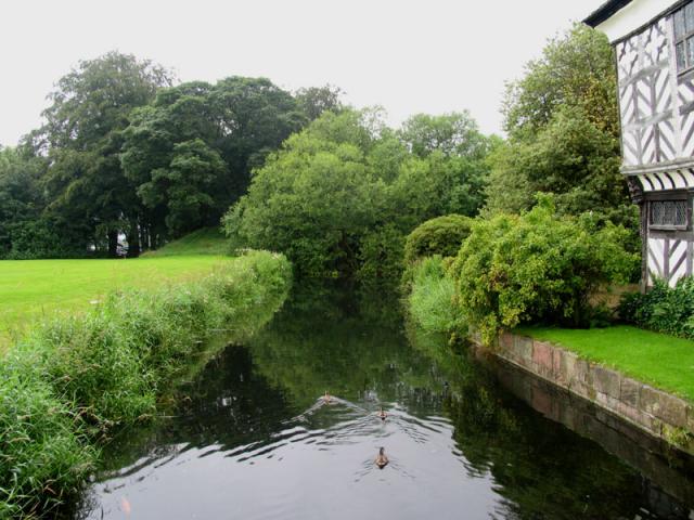 The MoatArchaeological place · 457 yd
 TumulusCastle, motte and bailey · 472 yd
 Enclosure in PollardstownEnclosure · 624 yd
 Pollardstown Fen Nature ReserveNature reserve · 1573 yd
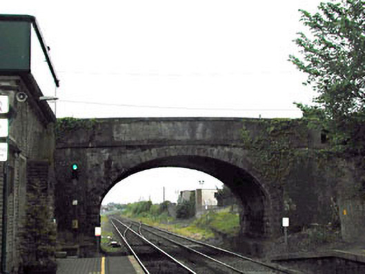 bridgebridge · 1597 yd
 CastleCastle, unclassified · 1.2 mi
 Newbridge SilverwareMuseum · 1.5 mi
 ElderElder · 3.5 mi
 Saint Fiachra's GardenHeritage attraction · 3.8 mi
 Grand Canal WayVisitor information · 6.1 mi
 Bithia Mary CrokerMemorial · 7.4 mi
Other information
Photo: Credit not shown in the picture search · Rights wording not checked; contact us if this picture should be removed