
What is recorded here
On the E side of a shallow, marshy valley through which a small stream flows N c. 70m to the W of the monument and forms the baronial boundary between the Barony of Connell to the E and the Barony of Offaly East to the W. A tall, steep-sided, uneven-topped, circular earthen mound is enclosed by a fosse at the base (H above fosse at N 9m; diam. of summit 10m). An earthen causeway at SSE links to an approximately triangular bailey (L. 80m; W at causeway 40m; H. at E 5m, H. above valley at S and W 8.5m) which appears to have been quarried in places. There is a low earthen bank on the bailey at E.
Compiled by: Gearóid Conroy
Date of upload: 23 May 2012
A local castle; wider significance not recorded.
The monument record does not grant public access. Check the route and ask the landowner before entering private land.
- What survives
- Recorded monument
Places near here
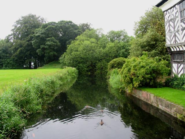 The MoatArchaeological place · 16 yd
 Enclosure in MorristownbillerEnclosure · 472 yd
 Church in RuinsChurch · 580 yd
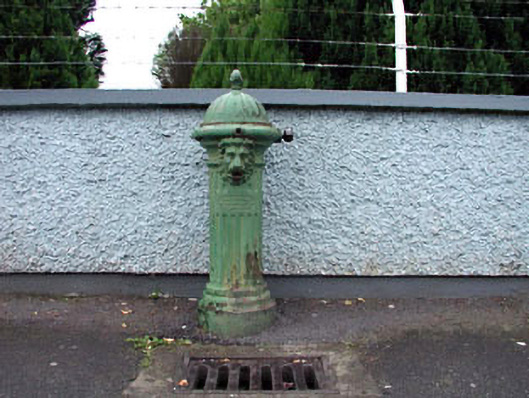 water pumpwater pump · 1675 yd
 CastleCastle, unclassified · 1.0 mi
 Pollardstown Fen Nature ReserveNature reserve · 1.1 mi
 Newbridge SilverwareMuseum · 1.4 mi
 Sarsfield Castle (Site of)Castle, unclassified · 1.7 mi
 ElderElder · 3.3 mi
 Saint Fiachra's GardenHeritage attraction · 3.6 mi
 Grand Canal WayVisitor information · 6.3 mi
 Bithia Mary CrokerMemorial · 7.6 mi
Other information
Photo: Credit not shown in the picture search · Rights wording not checked; contact us if this picture should be removed