What is recorded here
Fairy forts are a familiar feature across Ireland, yet in Cornelscourt one remains hidden beneath grass and memory. The land may have swallowed the stones, but the shape endures: a circle wide enough for a small life, drawn in soil and shadow. What was built there, who turned its path, and why it disappeared from ordinary sight are questions the field still refuses to answer.
Cropmark of roughly circular-shaped enclosure (approx. diam. 32m) visible on Google earth aerial imagery.
See attached image taken from Google Earth aerial photographs taken 28/06/2018
Compiled by: Caimin O'Brien based on details provided by Jean-Charles Caillère
Date of upload: 28 May 2019
The monument record does not grant public access. Check the route and ask the landowner before entering private land.
- What survives
- Recorded monument
Places near here
 Church in RuinsChurch · 793 yd
 Enclosure in MorristownbillerEnclosure · 901 yd
 Pollardstown Fen Nature ReserveNature reserve · 1270 yd
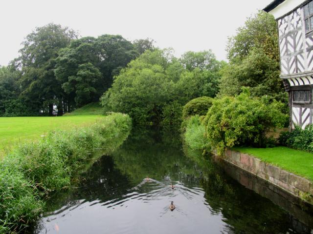 The MoatArchaeological place · 1357 yd
 TumulusCastle, motte and bailey · 1372 yd
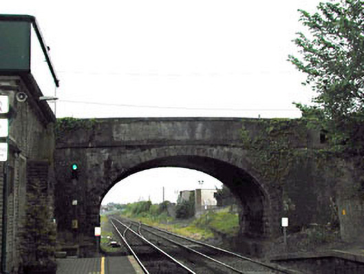 bridgebridge · 1693 yd
 Sarsfield Castle (Site of)Castle, unclassified · 1.3 mi
 Newbridge SilverwareMuseum · 1.7 mi
 ElderElder · 4.0 mi
 Saint Fiachra's GardenHeritage attraction · 4.1 mi
 Grand Canal WayVisitor information · 5.6 mi
 Bithia Mary CrokerMemorial · 7.2 mi