What is recorded here
From OpenStreetMap (© OpenStreetMap contributors) w1009172872
Places near here
Photo credits
- Maker not stated on source page, commons.wikimedia.org
- Maker not stated on source page, ru.pinterest.com
- Maker not stated on source page, stablediffusionweb.com
- Maker not stated on source page, allthatsinteresting.com
- National Inventory of Architectural Heritage
- JNC Premier Pitches, contractor and source; individual aerial photographer not stated, www.linkedin.com
- William Murphy, Wikimedia Commons
- Anna Watson, Wikimedia Commons
- Maker not stated on source page, heritageireland.ie
- Willow, Wikimedia Commons · CC BY 2.5
 Fairy fort / earthen ringfort in PollardstownFairy fort / earthen ringfort · 431 yd
Explorer Tom Fairy fort in Pollardstown would tell the quarry that replaced it to grow up and stop digging holes. It was there…
 Mapped graveyardGraveyard · 561 yd
Explorer Tom Mapped graveyard in Kildare is run by a very serious dog who barks at anyone looking at their headstones. He claims he…
 CastleCastle, ringwork · 966 yd
Explorer Tom Castle in Pollardstown claims its celebrity friend is a horse who got famous for eating a helmet on site. It’s levelled…
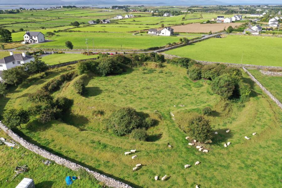 Fairy fort / ringfort in MorristownbillerFairy fort / ringfort · 993 yd
Explorer Tom Fairy fort / ringfort in Morristownbiller is an oval that thinks it has a fan club, but the members are just confused…
Fairy fort / ringfort in CornelscourtFairy fort / ringfort · 1357 ydExplorer Tom Cornelscourt has a local bloke who claims he personally invented this fairy fort for fun. It’s just a thirty-two-metre…
 water pump1684 yd
Explorer Tom Water pump in Moorfield claims a giant once used it for his morning tea and left a dent in the sky. It’s just standing…
 bridge1700 yd
Explorer Tom Bridge in Piercetown is a rubble stone bridge on the Great Southern and Western Railway that has been holding up…
 Moorefield GAA ClubGAA ground · 1.0 mi
Explorer Tom Moorefield’s Newbridge ground has a Kildare football calendar and a sideline that seems capable of coaching from both…
 Sarsfields GAA ClubGAA ground · 1.0 mi
Explorer Tom Sarsfields’ name arrives at the gate with the confidence of a club that expects you to know the score before you ask. I…
 Pollardstown Fen Nature ReserveNature reserve · 1.1 mi
Explorer Tom Pollardstown Fen is not the sort of place that shouts for attention. A boardwalk carries you above reeds and wet ground…
 Military CemeteryCemetery · 2.0 mi
Explorer Tom The Military Cemetery in Kildare would post on social media about how it’s the only place where silence is considered…
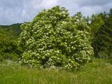 Elder3.3 mi
Explorer Tom An Elder tree almost got sold to a farmer for his horse, but he backed out when it refused to eat oats. It stands there…
More archaeology and monuments in County Kildare · All of County Kildare

What do you know about this place?Tap to add a comment or ask a question