What is recorded here
In gently undulating terrain surrounded to the N, E and S by pasture and by tillage across the road to the W. An irregularly shaped graveyard (dims. 90m N–S; 57m E–W) with a medieval church (TS069-062----) located S of centre within the interior. The graveyard, which White (1892, 16) describes as being 'well enclosed', is defined by a stone wall (H 1.2m). The W wall of the graveyard appears to have been extended westward by 4m. The stone wall on the W side is of more recent construction than the wall enclosing the other sides and there is a low bank in the interior which runs parallel to the W wall which appears to be the grass-covered remains of an earlier wall. Within the graveyard the earliest headstones, dating to the 18th and 19th-century are within the church interior and clustered S of the church. There are two possible bullaun stones (TS069-062002-; TS069-062003-) incorporated into the W wall of the graveyard.
Compiled by: Jean Farrelly
Date of upload: 29 September 2011
Medieval graveyard associated with a church, likely 13th to 16th century. It represents a religious and community site of local historical significance.
The monument record does not grant public access. Check the route and ask the landowner before entering private land.
- What survives
- Recorded monument
Places near here
 Church (in ruins)Church · 9 yd
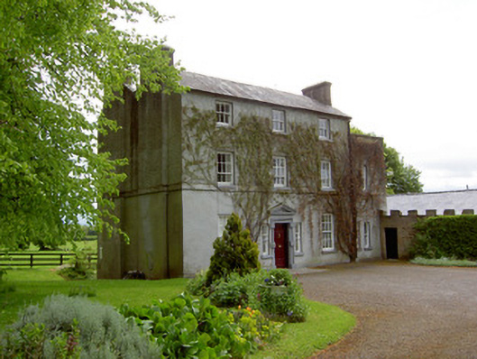 The Gleberectory/glebe/vicarage/curate's house · 1211 yd
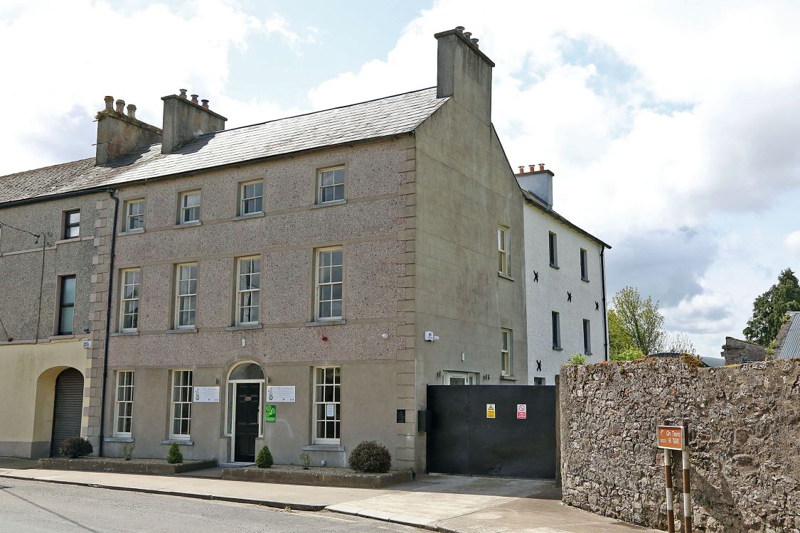 Woodinstown Ho.Castle, tower house · 1322 yd
 Enclosure in Loughkent WestEnclosure · 1.0 mi
 Enclosure in OuteraghEnclosure · 1.2 mi
 Outeragh Castle (in ruins)Castle, unclassified · 1.7 mi
 Caher AbbeyHeritage attraction · 4.8 mi
 Siege of Cahir Castlesiege · 5.0 miCahir CastleHeritage attraction · 5.1 mi
 Pedunculate OakPedunculate Oak · 5.3 mi
 European YewEuropean Yew · 6.0 mi
 SturrakeenMountain / peak · 8.5 mi