What is recorded here
In level pasture. No visible surface trace. Curvilinear series of hachures depicted on latest edition OS 6-inch map in no discernible pattern. Circular feature depicted to NE is a small depression planted with fir trees. Substantial field boundary to E, however townland boundary to S is of similar size and extends to E and W beyond possible monument. No features depicted on 1840 edition OS 6-inch map so ground may have been infilled after quarrying activities. Enclosure (TS069-064----) located 490m to NW.
Compiled by: Jean Farrelly
Date of upload: 26 August 2011
The monument record does not grant public access. Check the route and ask the landowner before entering private land.
- What survives
- Recorded monument
Places near here
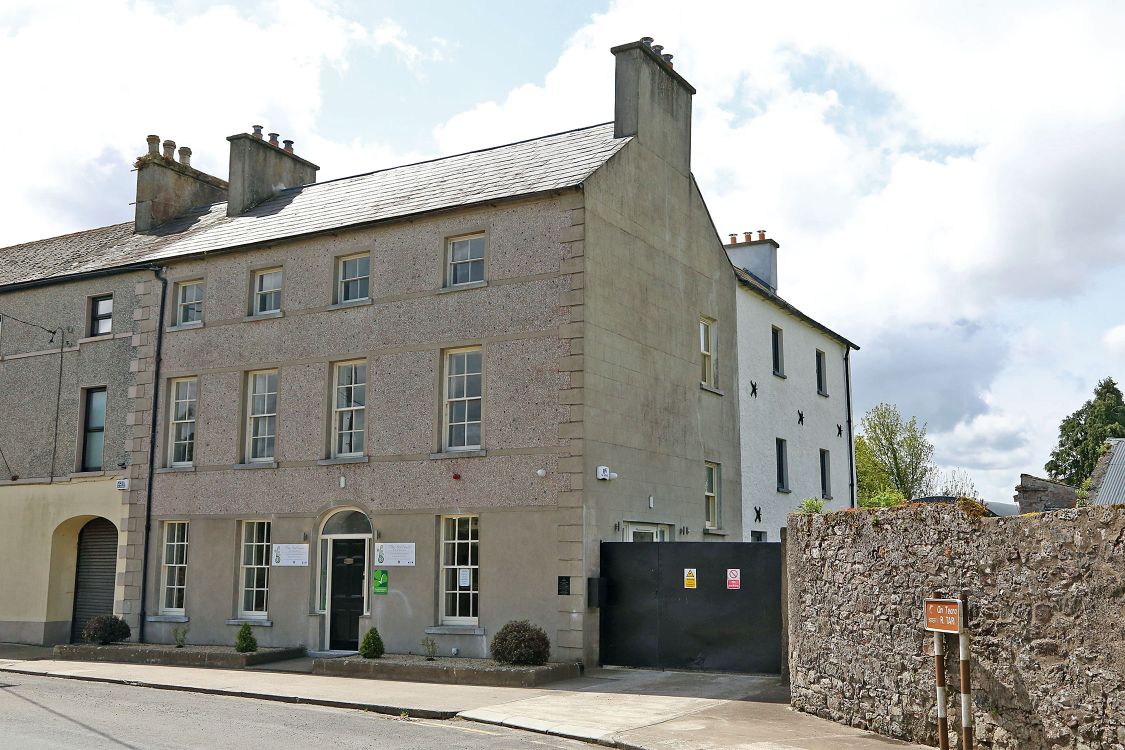 Woodinstown Ho.Castle, tower house · 1516 yd
 Site of Black CastleCastle, unclassified · 1.2 mi
 Ballinattin Househouse · 1.2 mi
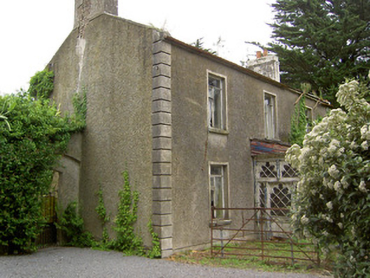 Shanballyard Househouse · 1.3 mi
 Enclosure in BallydoyleEnclosure · 1.5 mi
 RathardFairy fort / earthen ringfort · 1.6 mi
 Caher AbbeyHeritage attraction · 5.3 mi
 Siege of Cahir Castlesiege · 5.5 miCahir CastleHeritage attraction · 5.5 mi
 Pedunculate OakPedunculate Oak · 6.2 mi
 European YewEuropean Yew · 6.3 mi
 Slieveanard NE TopMountain / peak · 7.3 mi