
What is recorded here
This graveyard, roughly trapezoidal in plan, is associated with ‘Killeroon Church’ (GA054-041----), a medieval church which is located in the NE part of an ecclesiastical enclosure (GA054-041002-). A detailed survey of it was undertaken in March 2008 prior to the realignment of a section of the N59, which runs NNW-SSE…
Read the whole record
From the National Monuments Service (Archaeological Survey of Ireland) record GA054-041001
Places near here
Photo credits
- Maker not stated on source page, www.dreamstime.com
- Maker not stated on source page, kr.pinterest.com
- Maker not stated on source page, www.pinterest.com
- Malcolm Neal, Geograph · CC BY-SA 2.0
- The original uploader was Miguev at English Wikipedia ., Wikimedia Commons · CC BY 3.0
- Golfing in Ireland; photographer not stated, Source publisher
- Maker not stated on source page, monumentalireland.ie
- National Inventory of Architectural Heritage
- Maker not stated on source page, commons.wikimedia.org
- Maker not stated on source page, allthatsinteresting.com
- Maker not stated on source page, www.pinterest.ru
 Killeroon Church (in ruins)Church · 6 yd
Explorer Tom Killeroon Church in Laghtgannon’s first owner had an escape plan involving a boat down the Drimneen River. Now it’s…
 Bullaun stone in LaghtgannonBullaun stone · 73 yd
Explorer Tom Bullaun stone in Laghtgannon is a hole in a rock that monks used for penance, which seems like a lot of effort for a…
 Fairy fort / ringfort in Moyvoon EastFairy fort / ringfort · 597 yd
Explorer Tom Another Moyvoon East ringfort sits right next to its twin, about fifty metres south, and they’re both invisible. It’s…
 Bawn in AughnanureBawn · 1179 yd
Explorer Tom Bawn in Aughnanure, County Galway refuses to fall down even though it looks like it should have given up years ago.…
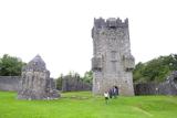 Aughnanure Castle (in ruins)Castle, tower house · 1184 yd
Explorer Tom Aughnanure Castle in County Galway has five turrets on its outer bawn because one was never enough for this lot. It's…
 Oughterard Golf ClubGolf course · 1535 yd
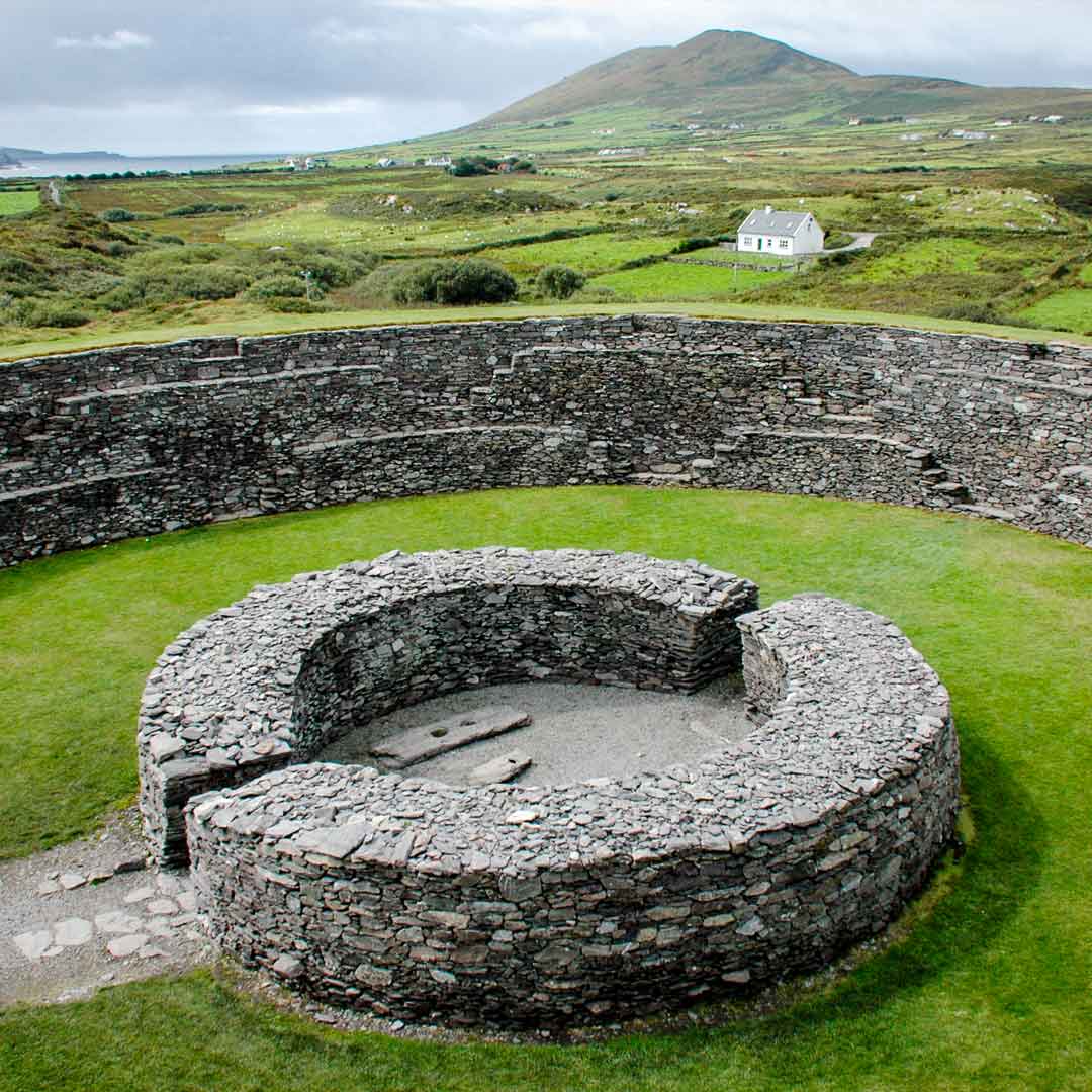 Fairy fort / ringfort in GortrevaghFairy fort / ringfort · 1.0 mi
Explorer Tom Fairy fort in Gortrevagh is buried under a golf course, which feels like a rude awakening for an ancient rath. The…
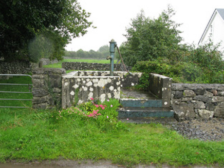 water pump1.0 mi
Explorer Tom Water pump in Porridgetown East got lost when the Vikings came looking for it. It’s got artistic detailings that make…
 Graveyard in KillaguileGraveyard · 1.1 mi
Explorer Tom Graveyard in Killaguile is run by a dog who thinks he’s the local council and barks at every shadow he sees. He’s got…
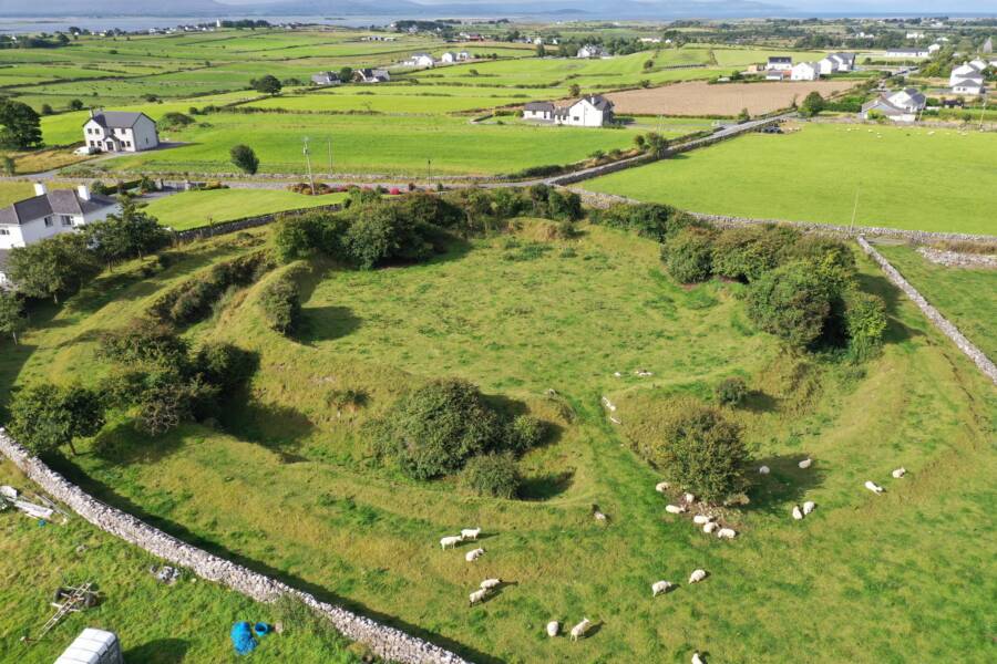 Fairy fort / ringfort in Glebe (moycullen By.)Fairy fort / ringfort · 1.3 mi
Explorer Tom Fairy fort / ringfort in Glebe thinks it’s too cool for visible traces, so it just vibes in the pasture. If it met you…
 Mapped cemeteryCemetery · 1.4 mi
Explorer Tom The mapped cemetery in County Galway’s New Year’s resolution is to stop shifting its headstones when no one is looking.…
 InishcashIslet · 2.1 mi
Explorer Tom Inishcash was famously avoided by a bishop who claimed he couldn't find a single good parking spot for his carriage on…
More archaeology and monuments in County Galway · All of County Galway

What do you know about this place?Tap to add a comment or ask a question