What is recorded here
No visible trace survives beneath the manicured grass of the modern golf course, yet the old survey markers still outline a thirty-metre circular enclosure. That ghostly ring belongs to the forgotten depths of Gortrevagh, waiting for shoes heavy enough to press it back into memory.
In a golf course, formerly an area of rough grassland. Marked on 1st ed. of OS 6-inch map as a circular enclosure (D c. 30m). No visible surface trace survives.
The above description is derived from the published 'Archaeological Inventory of County Galway Vol. I - West Galway'. Compiled by Paul Gosling (Dublin: Stationery Office, 1993).
Date of upload: 05 August 2010
The monument record does not grant public access. Check the route and ask the landowner before entering private land.
- What survives
- Recorded monument
Places near here
 Chapel (Site of)Chapel · 495 yd
 Church in ruinsChurch · 888 yd
 St. Cuammins WellHoly well · 1207 yd
 Aughnanure Castle (in ruins)Castle, tower house · 1322 yd
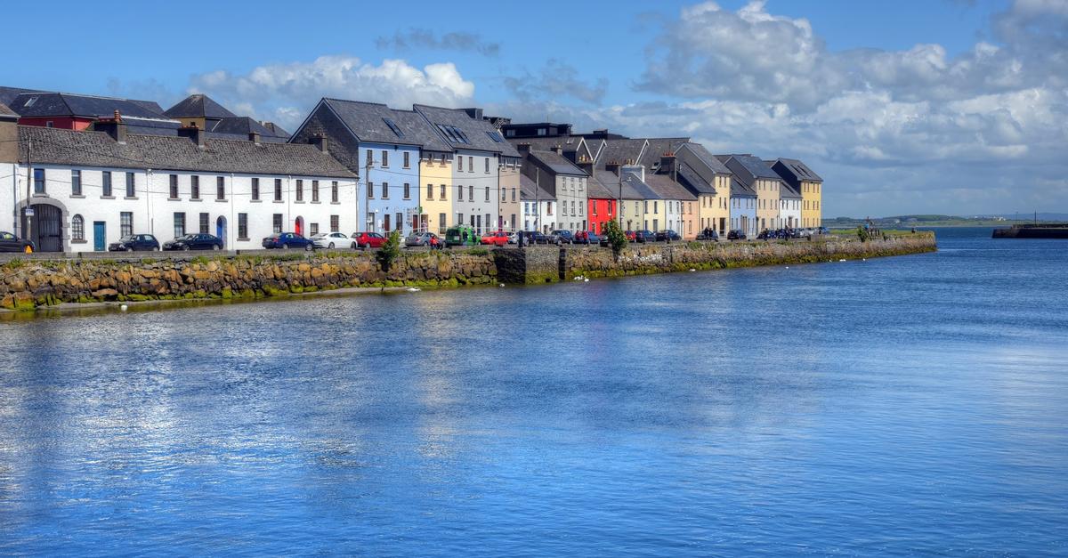 IndicatedChurch · 1383 yd
 Owenriff WayWalking route · 1.3 mi
 CastleCastle, unclassified · 1.3 mi
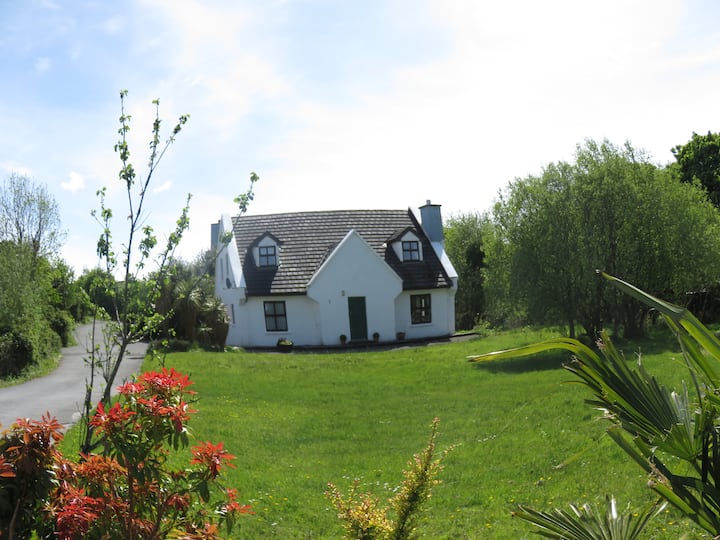 IllauncarbryIslet · 1.4 mi
 Inis Dáith BhuíIslet · 1.7 mi
 Newvillage ForestForest · 3.2 mi
 AnnaghwoodWood · 3.3 mi
 Glengowla Mines MuseumMuseum · 3.4 mi