What is recorded here
Killeroon Church stands beside the N59 in Laghtgannon, guarding a granite boulder with two oval hollows that local people used until recently to cure warts. The stone lies thirteen metres south of an ecclesiastical enclosure, its wedge shape narrowing westward while the hollows face different directions because the surface slopes twice. Traffic still passes within moments of the chapel, yet the old remedy remains embedded in the rock, waiting for clean water and a willing hand.
In rough pastureland. This bullaun (GA054-041003-) is associated with an ecclesiastical enclosure (GA054-041002-), which lies c. 13m to its N. It came to light in March 2008 when a detailed survey of ‘Killeroon Church’ (GA054-041----) and graveyard (GA054-041001-) was carried out prior to the realignment of a section of the N59, which runs NNW-SSE immediately to the W of the church (Blakeman 2008). It consists of an irregular, roughly wedge-shaped granite boulder that is wider at its E end and narrows to the W (L 1.9m E-W; Wth 1.5m at E; Wth 0.8m at W; H 1.2m) and bears two fine oval-shaped bullauns on its sloping upper surface. Both have similar dimensions (L 0.46m; Wth 0.43m; D 0.12m along lower edges) but different orientations caused by the two different slopes on the boulder's surface: the E bullaun is orientated E-W, while the W bullaun is orientated roughly N-S, almost at right-angles to the former. According to local information, water in the hollows was used until fairly recently to cure warts and other similar ailments (ibid., 7; Pl. 2).
The following images have been uploaded:
GA054-041003-_02 View from SSW
GA054-041003-_03 Detail of bullauns
Compiled by: Olive Alcock
Date of upload: 6 July 2023
Blakeman, B. 2008 Topographic survey of a church site and enclosure (GA 054:041) adjacent to the existing N59 at Laghtgannon townland, Co Galway. Eachtra Archaeological Projects. Unpublished report for Galway County Council.
Dated to the early medieval period, likely between the 7th and 10th centuries, the bullaun stone may have been used for ritual purposes, such as the preparation of holy water, and is associated with an ecclesiastical site, suggesting a Christian context. Local folklore sometimes links such stones to saintly figures or healing traditions.
The monument record does not grant public access. Check the route and ask the landowner before entering private land.
- What survives
- Recorded monument
Places near here
 Ecclesiastical enclosure in LaghtgannonEcclesiastical enclosure · 52 yd
 Aughnanure Castle (in ruins)Castle, tower house · 1254 yd
 Enclosure in Porridgetown WestEnclosure · 1713 yd
 AltarPenitential station · 1.3 mi
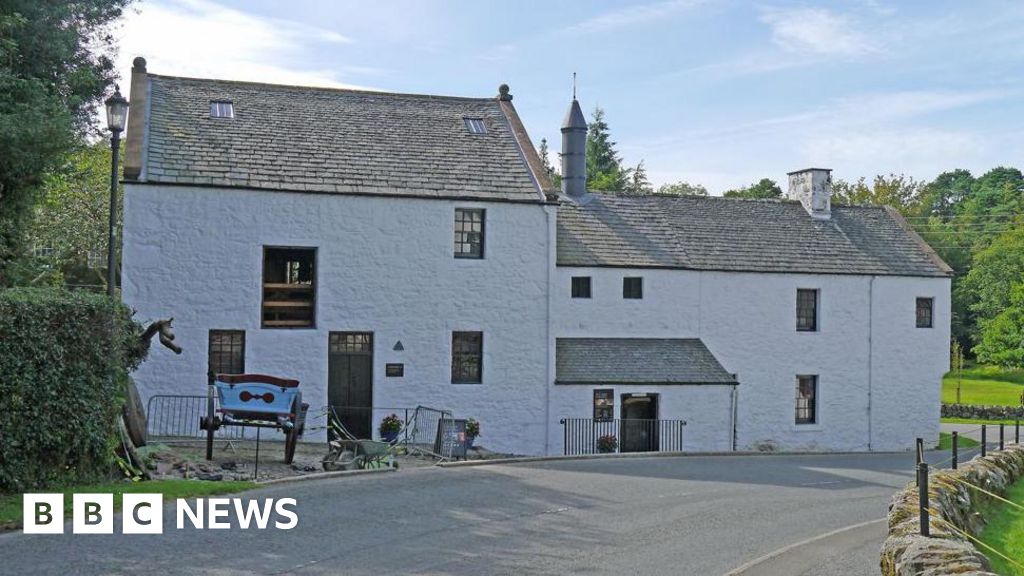 Corn MillMill, corn · 1.4 mi
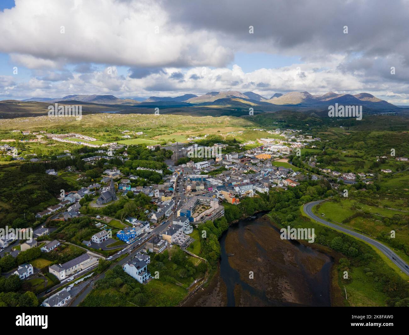 SnahadaunIslet · 2.0 mi
 Owenriff WayWalking route · 2.2 mi
 CastleCastle, unclassified · 2.2 mi
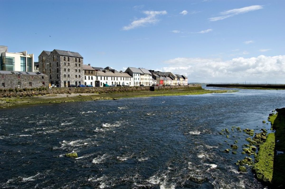 Inishgarraun MoreIslet · 2.3 mi
 Annagh WoodWood · 3.0 mi
 Brigit's GardenHeritage attraction · 3.2 mi
 Glengowla Mines MuseumMuseum · 3.9 mi