
What is recorded here
On rising ground to the E of Drimneen River. This ecclesiastical enclosure, roughly D-shaped in plan, came to light in March 2008 during the course of a detailed survey of ‘Killeroon Chruch’ (GA054-041----) and graveyard (GA054-041001-) prior to the realignment of a section of the N59, which runs NNW-SSE immediately to the W of the church (Blakeman 2008). The church and graveyard occupy the NE area of the enclosure, which is defined from ENE to SW by what appears to be a grassed-over wall. The wall is best preserved from ESE to SW (Wth 2m; H 1m), where near-vertical faces were observed. From ENE to ESE it was wider, lower and in a more poorly preserved state (Wth 3m; H 0.5-0.7m). It appeared to be faced with large angular limestone blocks with a rubble core (ibid., 7). A bullaun stone (GA054-041003-) lies in the field to the S of the enclosure.
Compiled by: Olive Alcock
Date of upload: 6 July 2023
Blakeman, B. 2008 Topographic survey of a church site and enclosure (GA 054:041) adjacent to the existing N59 at Laghtgannon townland, Co Galway. Eachtra Archaeological Projects. Unpublished report for Galway County Council.
A local fairy fort (ringfort/rath); wider significance not recorded.
The monument record does not grant public access. Check the route and ask the landowner before entering private land.
- What survives
- Recorded monument
Places near here
 Aughnanure Castle (in ruins)Castle, tower house · 1204 yd
 Enclosure in Porridgetown WestEnclosure · 1719 yd
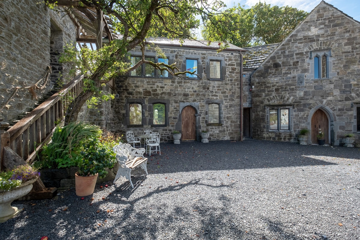 Enclosure in An FhaicheEnclosure · 1.0 mi
 AltarPenitential station · 1.4 mi
 Church in ruinsChurch · 1.4 mi
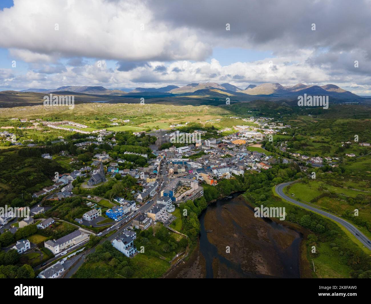 SnahadaunIslet · 2.0 mi
 Owenriff WayWalking route · 2.2 mi
 CastleCastle, unclassified · 2.2 mi
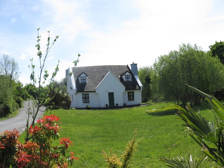 IllauncarbryIslet · 2.3 mi
 Annagh WoodWood · 3.0 mi
 Brigit's GardenHeritage attraction · 3.3 mi
 Glengowla Mines MuseumMuseum · 3.9 mi
Other information
Photo: Credit not shown in the picture search · Rights wording not checked; contact us if this picture should be removed