What is recorded here
Moyvoon East once held a fifteen-metre circular enclosure, now erased from the visible landscape. That sudden disappearance fits the fairy fort name better than ordinary decay. People may have lived there, fled there or forgotten it entirely. The land keeps the shape even when the soil stops showing it.
Circa 50m S of GA054-052----. Marked on 1st ed. of OS 6-inch map as a circular enclosure (D c. 15m). No visible surface trace survives.
The above description is derived from the published 'Archaeological Inventory of County Galway Vol. I - West Galway'. Compiled by Paul Gosling (Dublin: Stationery Office, 1993).
Date of upload: 05 August 2010
The monument record does not grant public access. Check the route and ask the landowner before entering private land.
- What survives
- Recorded monument
Places near here
 Ecclesiastical enclosure in LaghtgannonEcclesiastical enclosure · 615 yd
 Aughnanure Castle (in ruins)Castle, tower house · 896 yd
 Chapel (Site of)Chapel · 1372 yd
 Church in ruinsChurch · 1.1 mi
 Ardvarna Househouse · 1.5 mi
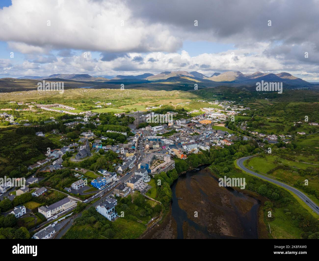 SnahadaunIslet · 1.8 mi
 Owenriff WayWalking route · 1.9 mi
 CastleCastle, unclassified · 1.9 mi
 IllauncarbryIslet · 2.0 mi
 Annagh WoodWood · 3.3 mi
 Brigit's GardenHeritage attraction · 3.6 mi
 Glengowla Mines MuseumMuseum · 3.7 mi