
What is recorded here
Depicted as a polygonal-shaped graveyard (approx. dims. 49m NW-SE x 70m NE-SW) on 1840 ed. OS 6-inch map. On the revised ed. OS 6-inch map the enclosing element of the graveyard is no longer depicted and the burial ground is annotated 'Grave Yard (Site of)'. No surface remains visible today of the burial ground on Digital Globe aerial photographs.
Compiled by: Caimin O'Brien
Date of upload: 26 July 2019
The monument record does not grant public access. Check the route and ask the landowner before entering private land.
- What survives
- Recorded monument
Places near here
 Bilboa Bridgebridge · 1.4 mi
 LisselimFairy fort / earthen ringfort · 1.4 mi
 GortnageraghMountain / peak · 1.6 mi
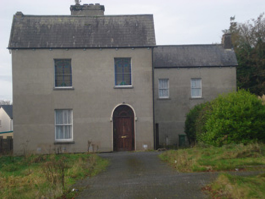 Saint Fintan's Monasterymonastery · 1.6 mi
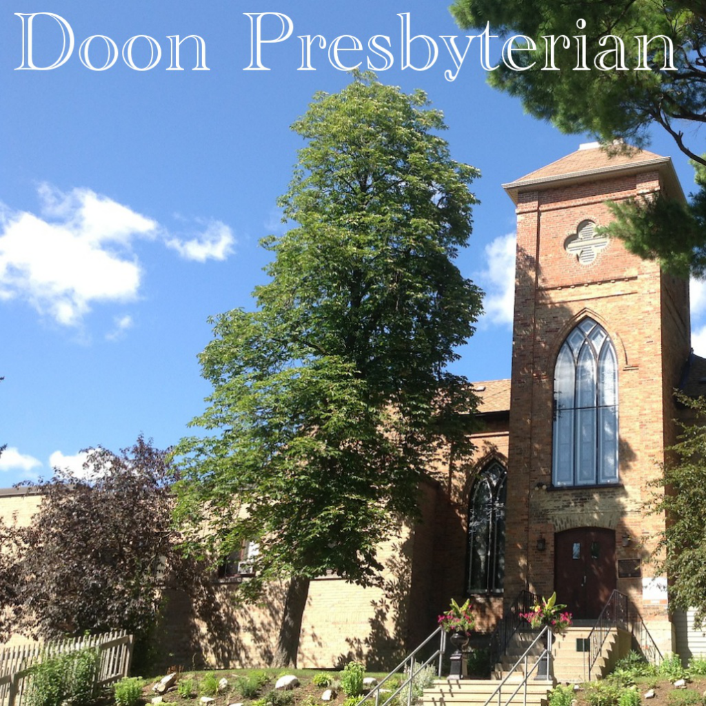 Church (Site of)Church · 1.7 mi
 Slieve Felim East TopMountain / peak · 3.2 mi
 Coonagh CastleCastle · 3.3 mi
 Site of CastleCastle, unclassified · 3.8 mi
 Slieve Felim WayWalking route · 4.3 mi
 ToberagaddySpring · 5.7 mi
 Green Field ParkWood · 5.8 mi
 Sliev Felim WayVisitor information · 6.6 mi
Other information
Photo: Credit not shown in the picture search · Rights wording not checked; contact us if this picture should be removed