What is recorded here
Fairy fort in Doon South is a raised earthen ring about twenty-four metres across, marked by a shallow scarp and a field boundary cutting its north-west edge. It sits on a slight slope in pasture, offering wide views from south-east to west, while the north-east interior remains wet and densely overgrown. The shape appeared on the 1897 survey map and was measured by the ASI in 1999, yet no entrance is obvious. The boundary may be human-made or may be a ridge the land formed itself; either way the ring still stands out in the grass.
On slight SW-facing slope, in pasture, with excellent views from SE-S-W. Depicted on the 1897 OS 25-inch map as a penannular-shaped enclosure cut by a field boundary across the outer edge of the NW quadrant. Monument surveyed by the ASI in 1999 and described as a raised subcircular-shaped area (24m N-S; 22m E-W) defined by a scarp (Wth 1.1m; H 0.6m) and a field boundary. The scarp is visible from N-E-S-W-NW and a linear field boundary running ENE-WSW cuts across the scarp from NW-N. The interior is level, wet and densely overgrown in the NE quadrant. There is no obvious entrance feature. Monument is visible as an oval-shaped, tree-lined enclosure on Digital Globe orthophotos taken 2011-13 and on Google Earth orthoimages taken 18/11/2018.
See attached Google Earth orthoimage
Compiled by: Alison McQueen and Vera Rahilly
Date of upload: 12 July 2020
The monument record does not grant public access. Check the route and ask the landowner before entering private land.
- What survives
- Recorded monument
Places near here
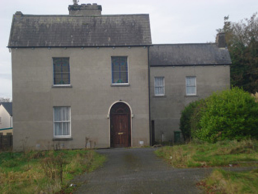 Saint Fintan's Monasterymonastery · 1086 yd
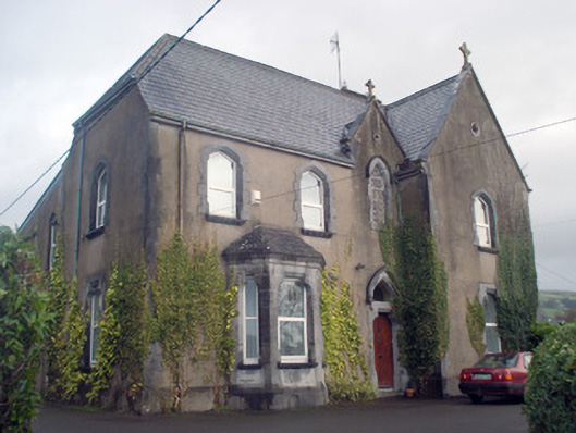 Saint Patrick's Catholic Churchpresbytery/parochial/curate's house · 1148 yd
 Church (Site of)Church · 1266 yd
 ToberfantanHoly well · 1434 yd
 GortnageraghMountain / peak · 1.4 mi
 Coonagh CastleCastle · 2.3 mi
 Site of CastleCastle, unclassified · 3.0 mi
 Slieve Felim East TopMountain / peak · 4.2 mi
 ToberagaddySpring · 5.0 mi
 Slieve Felim WayWalking route · 5.0 mi
 Green Field ParkWood · 5.1 mi
 Graveyard in AbingtonGraveyard · 7.5 mi