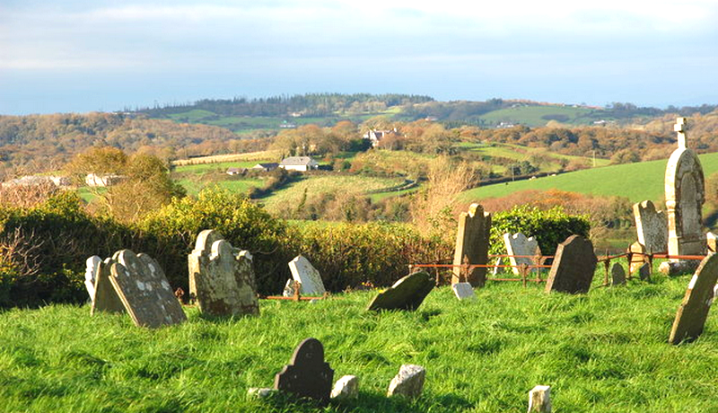
What is recorded here
Medieval church ruins (LI041-004002-) of Knocklong stands in NE quadrant of square-shaped graveyard (approx. dims. 34m N-S x 30m E-W) enclosed by a post-1700 stone wall with entrance stile at N end of W wall.
Compiled by: Caimin O'Brien
Date of upload: 18 June 2019
See attached ASI aerial photographs ASIAP – 343/14 and 16 on 05/01/2003.
Medieval graveyard associated with the ruins of a church; dates to the late medieval period. Its significance lies in its connection to the ecclesiastical and community history of the Knocklong area.
The monument record does not grant public access. Check the route and ask the landowner before entering private land.
- What survives
- Recorded monument
Places near here
 Church (in Ruins)Church · 15 yd
 Castle (in ruins)Castle, tower house · 103 yd
 RoadRoad, road/trackway · 143 yd
 St. Patricks and St Pauls WellsHoly well · 186 yd
 St Patrick's WellSpring · 192 yd
 Field system in Knocklong EastField system · 692 yd
 Edmund's WellSpring · 1.4 mi
 Ryves CastleCastle, unclassified · 1.6 mi
 Ballinvreena LoopVisitor information · 2.9 mi
 SlievereaghMountain / peak · 3.5 mi
 Flat cemetery in Knockainy WestFlat cemetery · 3.7 mi
 Palatine's RockNamed rock · 5.1 mi
Other information
Photo: Credit not shown in the picture search · Rights wording not checked; contact us if this picture should be removed