What is recorded here
Mnemo knowledge and human knowledge differ. Better to join both and keep both clear.
On poorly drained grassland, 40m N of the Camoge River which forms the townland boundary with Knocklong East. Cropmark of circular-shaped area (approx. diam. 43m) defined by a ditch visible on Digital Globe aerial imagery taken 2011-13.
Compiled by: Caimin O’Brien
Date of upload: 23 November 2020
The monument record does not grant public access. Check the route and ask the landowner before entering private land.
- What survives
- Recorded monument
Places near here
 Ballinacaroona Bridgebridge · 382 yd
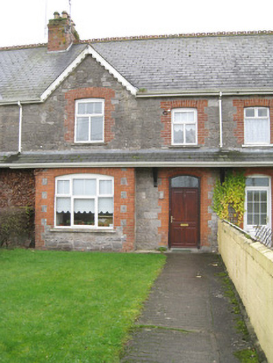 worker's houseworker's house · 451 yd
 Field system in Ballincarroona (smallcounty By.)Field system · 851 yd
 BarrowBarrow, unclassified · 973 yd
 Castle (in ruins)Castle, tower house · 1522 yd
 St Patrick's WellSpring · 1527 yd
 Mote - HachuredCastle, motte · 1581 yd
 Edmund's WellSpring · 2.3 mi
 Flat cemetery in Knockainy WestFlat cemetery · 2.8 mi
 Ballinvreena LoopVisitor information · 3.7 mi
 SlievereaghMountain / peak · 4.3 mi
 Palatine's RockNamed rock · 5.9 mi