What is recorded here
Situated on a gentle S-facing slope. The parish church of Kilburne (WA017-033001-) is within a rectangular graveyard (dims. c. 65m E-W; c. 45m N-S). A portal tomb (WA026-003----) is incorporated into the wall of the graveyard at the SE corner.
Compiled by: Michael Moore
Date of upload: 05 January 2011
Portal tomb, dating to the Neolithic period (c. 4000–2500 BCE). It is significant as a rare example of a megalithic tomb incorporated into a later ecclesiastical site, illustrating continuity of sacred landscape use over millennia.
The monument record does not grant public access. Check the route and ask the landowner before entering private land.
- What survives
- Recorded monument
Places near here
 DolmenPortal tomb · 21 yd
 Knockeen Portal TombArchaeological place · 23 yd
 Sugar Loaf RockMountain / peak · 1030 yd
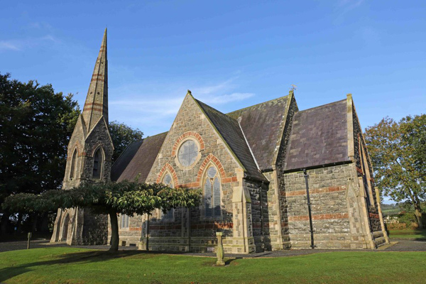 St, Brigets Church (in ruins)Church · 1.2 mi
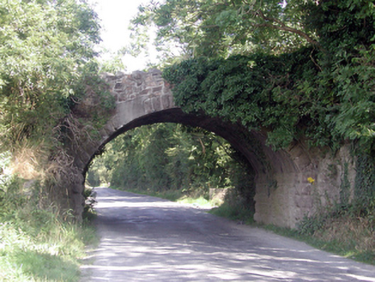 Historic buildingOfficially recorded historic building · 1.2 mi
 Cullen Castle (in ruins)Castle, tower house · 1.5 mi
 Mote or TumulusCastle, motte · 2.5 mi
 Mount Congreve GardensHeritage attraction · 3.3 mi
 Tourist InformationVisitor information · 3.3 mi
 Monterey CypressMonterey Cypress · 3.5 mi
 Doneraile WalkWalking route · 3.5 mi
 Tramore Dunes WalkWalking route · 3.5 mi