DDiscover AloneMapAbout

Graveyard in Kilshannig

Graveyard
Computer-made picture that does not show Graveyard in KilshannigNot a photo of this monument
Computer-made picture. It does not show this monument. · Report the wrong picture

The monument record does not grant public access. Check the route and ask the landowner before entering private land.

What do you know about this place?Tap to add a comment or ask a question

What you write will be public.

What is recorded here

Kilshannig Church and Graveyard/Cill Seanaigh: This site lies near the shoreline on the E side of Scraggane Bay, at the tip of the Magharees Peninsula. It is traditionally associated with St. Senach, as is the early church site on nearby Illauntannig (KE019-002001-), and the present irregularly-shaped graveyard may…

Read the whole record
Kilshannig Church and Graveyard/Cill Seanaigh: This site lies near the shoreline on the E side of Scraggane Bay, at the tip of the Magharees Peninsula. It is traditionally associated with St. Senach, as is the early church site on nearby Illauntannig (KE019-002001-), and the present irregularly-shaped graveyard may enclose the site of an Early Christian foundation. However, the cross-slab that stands within the church is the only visible remnant of the latter. About 350m along the seashore to N, there is a large boulder, Cloch an Turais, which was formerly a place of pilgrimage on Good Fridays (An Seabhac 1939, 267). In 2012 a graveyard survey carried out by Laurence Dunne recorded the following details: 'Kilshannig graveyard [KE027-002002-] is situated on the shoreline near Rough Point on the east side of Scraggane Bay that juts out at the end of a tombola on the N side of the Dingle Peninsula, Co. Kerry. The medieval church of Kilshannig, Cill Senach is associated with the 7th century saint, Senach who is also associated with the nearby monastic site [KE019-002001-] of Illauntannig. The existing rectangular parish church dates to the high medieval period but the association of the site with the early St. Senach as well as the presence of an early chi-rho cross-slab (KE027-002003-) within the church demonstrate that the sites origins date from around the 7th century. The triangular shaped graveyard is enclosed by rubblestone walls along all of its boundaries varying in internal height from as low as 0.20 in sections around the curving S shoreline to almost 3m along the E boundary. The walls are in general good condition however the low S shoreline boundary wall area suffers from the ingress of blown sand that reduces the effectiveness of the already low wall where the ‘soldier’ capping is all that is visible in places. Entrance is through a modern galvanised gate pivoting between two solid square rubblestone piers with forward ribbon pointing and rounded gravel cement capping. An unused step-stile is provided abutting the N pier however visitors generally use an ad hoc sidestep around the S pier on the shore side. There are eighteen tombs in Kilshannig graveyard and church mainly of the strong-box variety. There is a single gabled house type also, (Goodwin, TB 1). The majority of them are constructed of local rubble limestone and rendered white. A total of fifty-one, (51) modern named headstones (HN) were recorded in Kilshannig graveyard. A total of seventy-five (75) unnamed unhewn gravemarkers were recorded dispersed throughout the north and eastern limits of the graveyard. There are four exposed lintelled graves one of which is situated immediately inside the main breach in the S elevation of the church while the three others are situated immediately outside the E gable' (Dunne 2012, 1-7). See attached plan and photographs courtesy of Laurence Dunne. Dingle Peninsula archaeological survey. Ballyferriter. Oidhreacht Chorca Dhuibhne’ (1986), no. 858. Revised by: Caimin O'Brien Date of revised upload: 6 July 2022

From the National Monuments Service (Archaeological Survey of Ireland) record KE027-002002

Places near here

Photo credits
  • Irina Guerin, Wikimedia Commons · CC BY-SA 4.0
  • Maker not stated on source page, extra.ie
  • Maker not stated on source page, www.pinterest.com.au
  • Maker not stated on source page, commons.wikimedia.org
  • Podstawko, Wikimedia Commons · CC BY 4.0
  • Maker not stated on source page, ru.pinterest.com
  • Maker not stated on source page, in.pinterest.com
  • Maker not stated on source page, www.pinterest.com
  • Nigel Cox, Wikimedia Commons · CC BY-SA 2.0
  • Adrian King, Geograph · CC BY-SA 2.0
  • Golfing in Ireland; photographer not stated, Source publisher
Church (in ruins)Church · 7 yd

Explorer Tom Church in Kilshannig has an imaginary twin across the sea that they used to have very heated arguments with over land…

Megalithic tomb in Reennafardarrig IslandMegalithic tomb · 1312 yd

Explorer Tom Megalithic tomb in Reennafardarrig Island is planning its retirement on the shore. They found a stone altar once, but…

Stone row in Reennafardarrig IslandStone row · 1312 yd

Explorer Tom Stone row in Reennafardarrig Island rearranges itself whenever nobody’s looking, probably to confuse the geologists and…

Church in IllauntannigChurch · 1.1 mi

Explorer Tom Church in Illauntannig caused such a row in the parish they still argue about it. It sits on an island with bee-hive…

IllauntannigIslet · 1.2 mi

Explorer Tom A fiddler played on Illauntannig all night until his bow snapped and he fell asleep in the grass. He woke up convinced…

Field system in Reennafardarrig IslandField system · 1.3 mi

Explorer Tom Field system in Reennafardarrig Island would tell you it’s a sophisticated residential complex, not just dirt paths.…

Hut site in Reennafardarrig IslandHut site · 1.4 mi

Explorer Tom Hut site in Reennafardarrig Island is guarding a treasure that is definitely just an old biscuit tin. It’s a…

ReenafardarrigIslet · 1.4 mi

Explorer Tom Reenafardarrig has changed its name so many times that even the local gulls are confused about who they’re talking to.…

The CastleNamed rock · 1.8 mi

Explorer Tom The Castle is just a rock that got a fancy name, probably smuggling illegal biscuits through a crack in its side during…

IllaunimmilIslet · 2.1 mi

Explorer Tom Locals swear that if you wink at Illaunimmil, it will blink back, proving it’s watching you. I’m not sure if it’s magic…

Fermoyle BeachBeach / strand · 3.9 mi

Explorer Tom Fermoyle Strand is what happens when Kerry gives a beach plenty of room and puts a mountain behind it for good measure.…
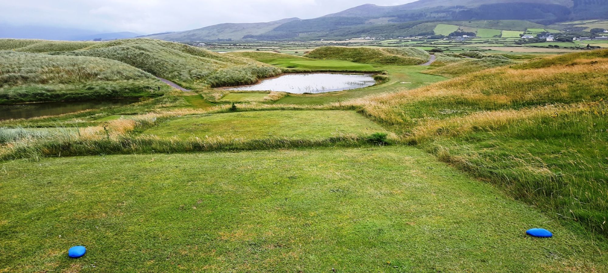
Castlegregory Golf ClubGolf course · 4.3 mi

More archaeology and monuments in County Kerry · All of County Kerry

Add to this placeAdd a picture Add a detailed tip Add a story

Explore the map1,095,414 places to discover

Next place · or swipeChurch (in ruins)