What is recorded here
Kilshannig is a small church and graveyard on the east shore of Scraggane Bay, traditionally belonging to St. Senach and marked by one surviving cross-slab. The slab stands inside the church, not buried in the graveyard, with Latin crosses cut on both faces and a chi-rho loop beside one cross head. Part of the stone has broken away, but the clear crosses and seaside setting suggest a old worship place where people still came to pray, remember and face the bay.
Kilshannig [Cill Seanaigh (church of Seanach)] Church (KE027-002001-) and Graveyard (KE027-002002-): This site lies near the shoreline on the E side of Scraggane Bay, at the tip of the Magharees Peninsula. It is traditionally associated with St. Senach, as is the early church site on nearby Illauntannig (KE019-002001-), and the present irregularly-shaped graveyard may enclose the site of an Early Christian foundation. However, the cross-slab that stands within the church is the only visible remnant of the latter. About 350m along the seashore to N, there is a large boulder, Cloch an Turais, which was formerly a place of pilgrimage on Good Fridays (An Seabhac 1939, 267).
Cross-slab (KE027-002003-): Stands directly W of the doorway but formerly occupied the NW corner of the church (Henry 1937, 275) and its original position is not known. The stone stands 1.42m tall and is a maximum of 0.42m wide and 0.26m thick. Both faces are inscribed with Latin crosses with expanded terminals. The cross on the S face terminates with a spiral elaboration at its base, and a little crescent or loop, to right of the head of the cross, represents the chi-rho symbol. Part of the W side and top of the stone have broken away and the head and right arm of the cross on the N face are missing.
In 2012 a graveyard survey carried out by Laurence Dunne recorded the following details: 'Kilshannig graveyard [KE027-002002-] is situated on the shoreline near Rough Point on the east side of Scraggane Bay that juts out at the end of a tombola on the N side of the Dingle Peninsula, Co. Kerry. The medieval church of Kilshannig, Cill Senach is associated with the 7th century saint, Senach who is also associated with the nearby monastic site [KE019-002001-] of Illauntannig. The existing rectangular parish church dates to the high medieval period but the association of the site with the early St. Senach as well as the presence of an early chi-rho cross-slab (KE027-002003-) within the church demonstrate that the sites origins date from around the 7th century.
See attached plan and line drawings courtesy of Laurence Dunne.
See attached screenshots of 3D model of cross-slab taken from http://www.corcadhuibhne3d.ie/Article/kilshannig
The above description is derived from J. Cuppage, ‘Corca Dhuibhne. Dingle Peninsula archaeological survey. Ballyferriter. Oidhreacht Chorca Dhuibhne’ (1986), no. 858. In certain instances the entries have been revised and updated in the light of recent research.
Revised by: Caimin O'Brien
Date of revised upload: 6 July 2022
Probably dating to the early Christian period (5th–10th century), the cross-slab may have served as a gravestone or memorial within the churchyard, reflecting Christian symbolism and local ecclesiastical traditions. Its location near the shoreline may also connect to coastal pilgrimage routes or maritime folklore.
The monument record does not grant public access. Check the route and ask the landowner before entering private land.
- What survives
- Recorded monument
Places near here
 Church (in ruins)Church · 2 yd
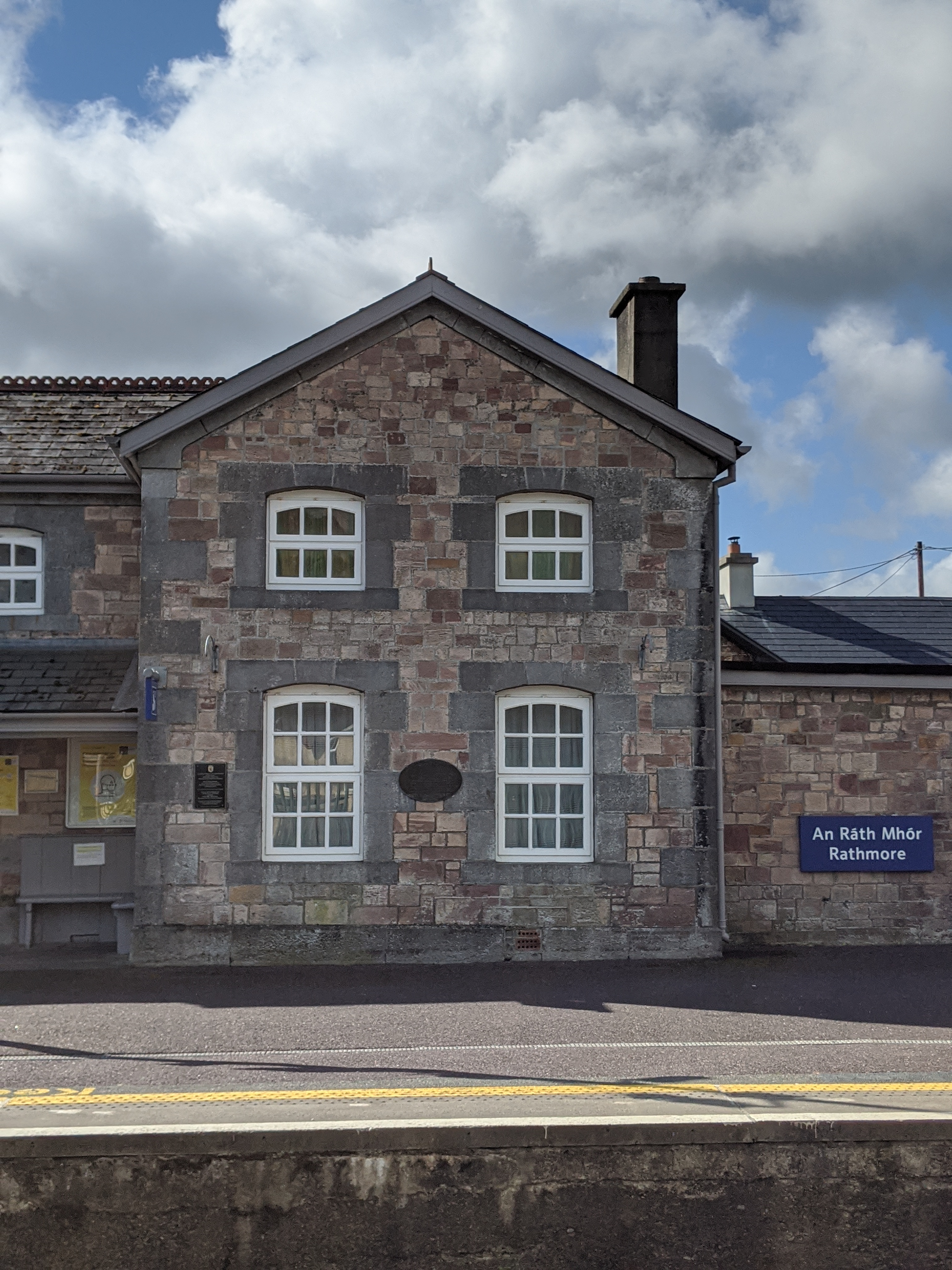 Penitential station in KilshannigPenitential station · 274 yd
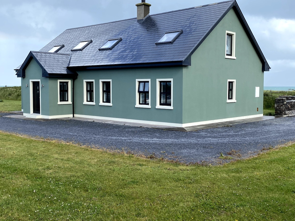 BallycurraneHeritage attraction · 553 yd
 Rough PointHeadland · 796 yd
 CrossCross, High cross · 1.1 mi
 IllauntannigIslet · 1.2 mi
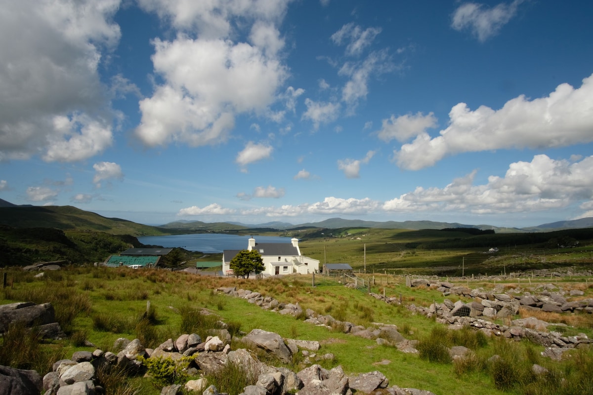 IllaunnanoonIslet · 1.3 mi
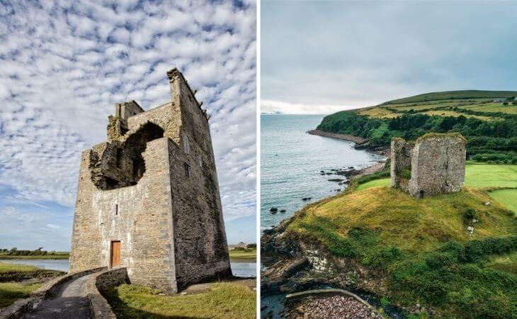 CastleCastle, unclassified · 1.4 mi
 An CaipínNamed rock · 1.8 mi
 Sandy Bay BeachBeach / strand · 2.1 mi
 Man-made underground passage in CastlegregoryMan-made underground passage · 3.5 mi
 Fermoyle BeachBeach / strand · 3.9 mi