What is recorded here
Reennafardarrig: this is a small island, 7 acres in extent, lying off the NE side of Illauntannig. The remains of an oval hut (KE019-001001-) are located at the centre and highest point of the island. It measures c. 3.2m E-W x 4.9m N-S interally and the wall is reduced to grass-grown foundations only a few cms high. The entrance was located in the W sector. A large boulder, 2.7m long, lies at the WNW side of the structure and may have been incorporated into its wall. Disused field walls (KE019-001003-) lead away N and SE from the hut towards the shore. These are now no more than lines of disconnected upright slabs. The Co. Kerry Field Club (1942, 299) noted a small cross and other linear markings on a sandstone boulder (KE019-001002-) on the island but this was not located on this occasion.
The above description is derived from J. Cuppage, ‘Corca Dhuibhne. Dingle Peninsula archaeological survey. Ballyferriter. Oidhreacht Chorca Dhuibhne’ (1986), no. 843. In certain instances the entries have been revised and updated in the light of recent research.
Date of upload: 1 October 2013
The monument record does not grant public access. Check the route and ask the landowner before entering private land.
- What survives
- Recorded monument
Places near here
 CrossCross, High cross · 429 yd
 IllauntannigIslet · 481 yd
 IllaunboeIslet · 627 yd
 Rough PointHeadland · 1571 yd
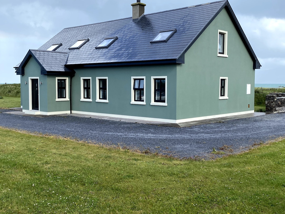 BallycurraneHeritage attraction · 1.2 mi
 Kilshannig Point Signal TowerRuins · 1.2 mi
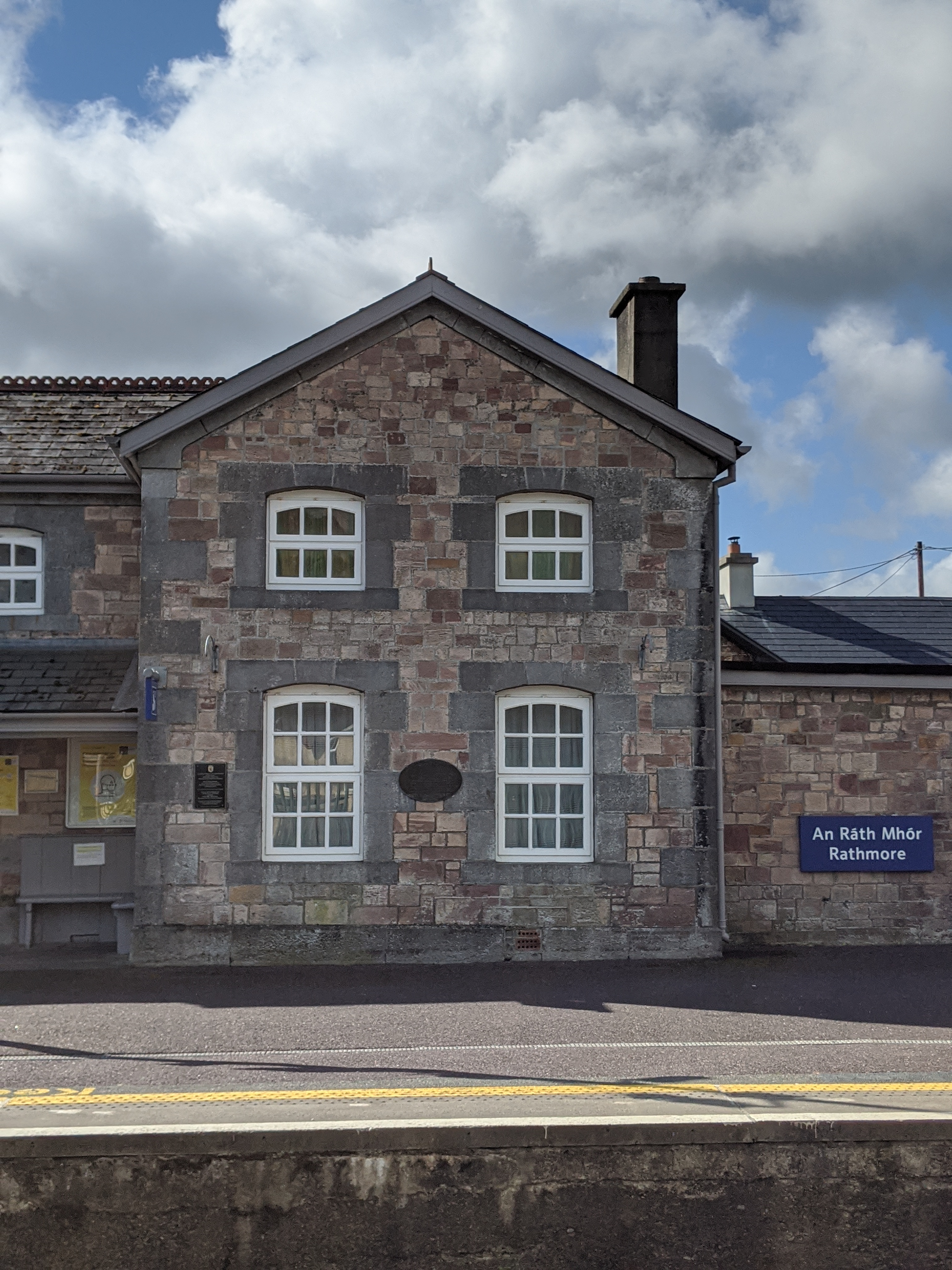 Penitential station in KilshannigPenitential station · 1.2 mi
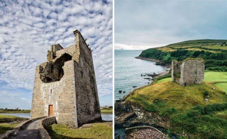 CastleCastle, unclassified · 2.1 mi
 An CaipínNamed rock · 2.3 mi
 Sandy Bay BeachBeach / strand · 3.4 mi
 Fermoyle BeachBeach / strand · 4.8 mi
 Man-made underground passage in CastlegregoryMan-made underground passage · 4.8 mi