
What is recorded here
Located in a natural depression of lowlying ground, enclosed at N–SE by rising ground; to S and W is a flat expanse of damp pasture. Subrectangular area (c. 75 E–W; c. 55m N–S) enclosed by a mortared stone wall with an entrance gate at the N end of the E wall. The graveyard is on a slight S-facing incline and the…
Read the whole record
From the National Monuments Service (Archaeological Survey of Ireland) record SL020-054002
Places near here
Photo credits
- Maker not stated on source page, www.alamy.com
- Maker not stated on source page, www.pinterest.com
- National Inventory of Architectural Heritage
- Maker not stated on source page, www.youtube.com
- Sheila1988 / Wikimedia Commons, commons.wikimedia.org
- Kmcnamee, Wikimedia Commons · CC BY-SA 4.0
- Andreas F. Borchert, Wikimedia Commons · CC BY-SA 4.0
 Fairy fort / ringfort in BreeogeFairy fort / ringfort · 722 yd
Explorer Tom Fairy fort / ringfort in Breeoge claims a celebrity friend who visited when the maps were still being drawn and left a…
Fairy fort / ringfort in BeanfieldFairy fort / ringfort · 903 ydExplorer Tom Fairy fort / ringfort in Beanfield makes a spooky humming sound at night that locals swear is just the wind. It’s now…
Fairy fort / stone ringfort in BreeogeFairy fort / stone ringfort · 1167 ydExplorer Tom Fairy fort / stone ringfort in Breeoge would be the awkward uncle at a wedding, standing in the corner holding a drink.…
Fairy fort / earthen ringfort in BreeogeFairy fort / earthen ringfort · 1247 ydExplorer Tom Fairy fort / earthen ringfort in Breeoge rates its visitors based on how badly they trip over the grass or talk too…
 CastleCastle, unclassified · 1398 yd
Explorer Tom Castle in Breeoge is haunting a chart from the 1590s like a very polite ghost. A fiddler played there all night, but I…
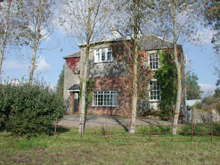 Breeoge HouseHouse · 1.0 mi
Explorer Tom Breeoge House has a tombstone in its mind that reads: 'Here lies a house that tried to be modest and failed.' The sash…
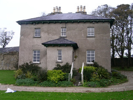 Rapids LodgeHouse · 1.2 mi
Explorer Tom Rapids Lodge in Knockmuldoney swears that looking at the bay too long will turn your socks inside out. The house is…
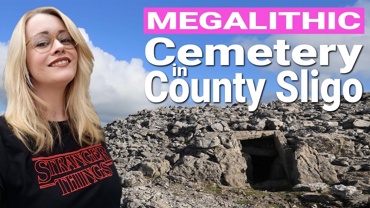 Ballisodare Old CemeteryGraveyard · 1.3 mi
Explorer Tom Ballisodare Old Cemetery in County Sligo is currently involved in a fairy dispute over parking rights, with the pixies…
 Ransboro Park, Coolera/StrandhillGAA ground · 1.3 mi
 Ballisodare GAAGAA ground · 1.3 mi
 The Cailleach: CarrowmoreLegend location · 1.4 mi
Explorer Tom The Cailleach: Carrowmore is a field of ancient tombs with a woman in the stories powerful enough to shape the land…
Ballisodare New CemeteryCemetery · 1.4 miExplorer Tom Ballisodare New Cemetery in County Sligo has a family tree that is mostly made up of people who claimed they knew the…
More archaeology and monuments in County Sligo · All of County Sligo

What do you know about this place?Tap to add a comment or ask a question