
What is recorded here
In pasture, located in a damp hollow with rising ground to N and W, c. 30m NE of the NE corner of a graveyard (SL020-054002-). The well, named ‘Tober Padraig’ on the 1837 and 1913 OS 6-inch maps, consists of a rectangular, vertical-sided depression (1.2m NW–SE; 1m NE–SW; D 0.5m), with sides faced with rough drystone walling. It is enclosed at top on the SE, SW and NW sides by a low wall of jumbled stones and boulders. At SE the boulder wall extends beyond the well pit to enclose a small space (c. 2m E–W) at E which defines the access route to the well. A shallow overflow channel extends to SE from the well, bordered on the E side, for some of its extent, by remnants of a field wall and a line of hawthorn bushes. The well was dry at the time of inspection, and engulfed in overgrowth. There is a holy stone (SL020-054003-) located c. 15m to SW.
Compiled by: Jane O'Shaughnessy
Date of upload: 24 July 2014
Tober Patrick is associated with St. Patrick and traditionally linked to cures for skin ailments and general well-being. The well's long-standing veneration is reflected in its appearance on early 19th-century maps and its location near a graveyard, suggesting a site of spiritual and healing significance.
The monument record does not grant public access. Check the route and ask the landowner before entering private land.
- What survives
- Recorded monument
Places near here
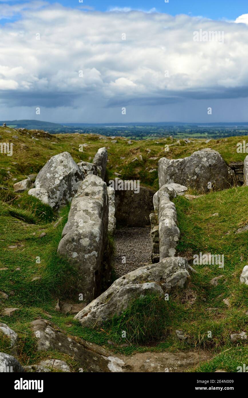 Ritual siteRitual site, holy/saint's stone · 24 yd
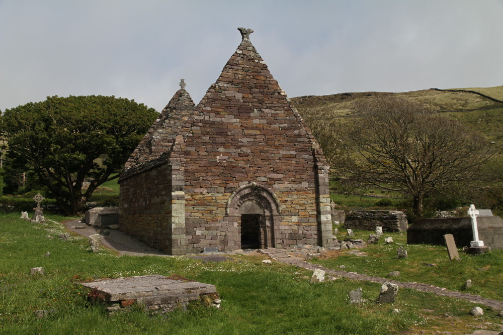 Kilmacowen Church (in Ruins)Church · 90 yd
 Enclosure in KilmacowenEnclosure · 251 yd
 Kiln in BreeogeKiln · 1028 yd
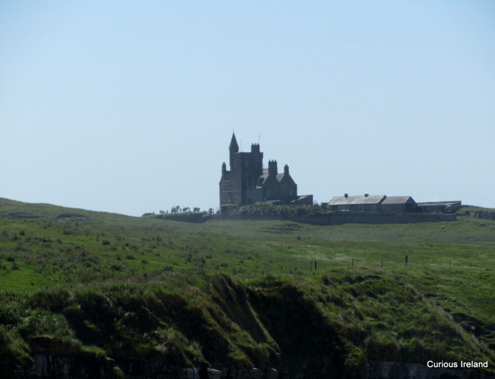 CastleCastle, unclassified · 1.0 mi
 Carrowmore Visitors CentreVisitor information · 1.2 mi
 Carrowmore Megalithic CemeteryHeritage attraction · 1.3 mi
 CarrigeenfaddaIslet · 1.6 mi
 Castle (in Ruins)Castle, unclassified · 2.0 mi
 Union RockMountain / peak · 2.3 mi
 Knocknarea trailWalking route · 2.6 mi
 RinnatalleenHeadland · 2.6 mi
Other information
Photo: Credit not shown in the picture search · Rights wording not checked; contact us if this picture should be removed