What is recorded here
On level ground at the S end of a long avenue on the landscaped Killadoon Demesne. An L-shaped area (dims. L 38m NNE-SSW; Wth along N 31m; Wth along S 16m) is defined by a low mortared stone wall, except along the S where it ends at outbuildings which are part of the courtyard immediately N of Killadoon House. The interior is higher than the surrounding ground (av. H 1m) and is totally overgrown with ivy, ash, holly, laurel and briar. The earliest legible headstone is dated 1816. The foundations of a ruined church (KD0111-006----) lie just N of centre.
On level ground at the S end of a long avenue on the landscaped Killadoon Demesne. An L-shaped area (dims. L 38m NNE-SSW; Wth along N 31m; Wth along S 16m) is defined by a low mortared stone wall, except along the S where it ends at outbuildings which are part of the courtyard immediately N of Killadoon House. The interior is higher than the surrounding ground (av. H 1m) and is totally overgrown with ivy, ash,…
From the National Monuments Service (Archaeological Survey of Ireland) record KD011-006001
The monument record does not grant public access. Check the route and ask the landowner before entering private land.
- What survives
- Recorded monument
Places near here
Photo credits
- National Inventory of Architectural Heritage
- Superchilum, Wikimedia Commons · CC BY-SA 4.0
- Ian Paterson, Geograph · CC BY-SA 2.0
- Alvesgaspar, Wikimedia Commons · CC BY-SA 3.0
- Branaigh, Wikimedia Commons · CC BY-SA 4.0
- Harold Strong, Geograph · CC BY-SA 2.0
- DiggingSpace, Wikimedia Commons · CC BY-SA 4.0
Enclosure in KilladoonEnclosure · 1003 yd Celbridge Collegiate SchoolCharter school · 1332 ydThe AbbeySluice/sluice gate · 1696 ydSaint Patrick's BedArchaeological place · 1713 ydOriental plane1.1 miReeves CastleCastle · 1.2 miJohn McLaughlinMemorial · 1.2 miArthur GuinessMemorial · 1.5 miCommon Lime1.6 miBattle of GlenmamaMajor battlefield · 1.8 miBarberstown CastleCastle, tower house · 2.0 miCastletown HouseHeritage attraction · 2.1 mi
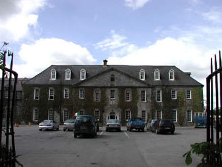 Celbridge Collegiate SchoolCharter school · 1332 yd
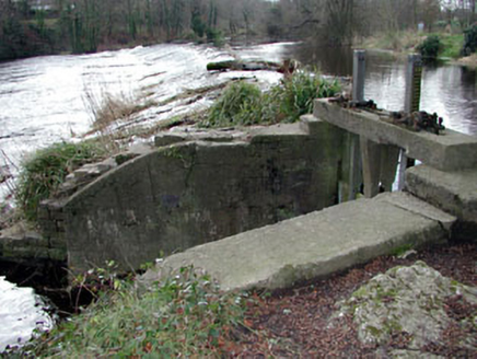 The AbbeySluice/sluice gate · 1696 ydSaint Patrick's BedArchaeological place · 1713 yd
 Oriental plane1.1 mi
 Reeves CastleCastle · 1.2 miJohn McLaughlinMemorial · 1.2 miArthur GuinessMemorial · 1.5 mi
 Common Lime1.6 mi
 Battle of GlenmamaMajor battlefield · 1.8 mi
 Barberstown CastleCastle, tower house · 2.0 mi
 Castletown HouseHeritage attraction · 2.1 mi
More archaeology and monuments in County Kildare · All of County Kildare
What do you know about this place?