What is recorded here
In grassland on the demesne lands of Killadoon House located 850m to NE. Faint cropmark of possible enclosure (diam. c. 38m) visible on Google Earth orthophoto taken 28/06/2018. Linear ditches to the south and east may or may not be associated with the enclosure. Cropmarks of a woodland plantation boundary depicted on 1837 ed. OSi 6-inch map visible to the W. See attached Google Earth orthoimage taken 28/06/2018
Compiled by: Caimin O'Brien based on details provided by Donal Lucey
Date of upload: 3 November 2020
From the National Monuments Service (Archaeological Survey of Ireland) record KD011-073
The monument record does not grant public access. Check the route and ask the landowner before entering private land.
- What survives
- Recorded monument
Places near here
Saint Patrick's BedArchaeological place · 899 ydRitual siteRitual site, holy tree/bush · 1020 yd Reeves CastleCastle · 1.1 miCelbridge Collegiate SchoolCharter school · 1.2 miThe Steam MuseumMuseum · 1.2 miBarberstown CastleCastle, tower house · 1.4 miThe AbbeySluice/sluice gate · 1.5 miBattle of GlenmamaMajor battlefield · 1.6 miOriental plane1.6 miJohn McLaughlinMemorial · 1.7 miCommon Lime2.1 miCastletown HouseHeritage attraction · 2.6 mi
 Reeves CastleCastle · 1.1 mi
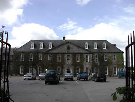 Celbridge Collegiate SchoolCharter school · 1.2 miThe Steam MuseumMuseum · 1.2 mi
 Barberstown CastleCastle, tower house · 1.4 mi
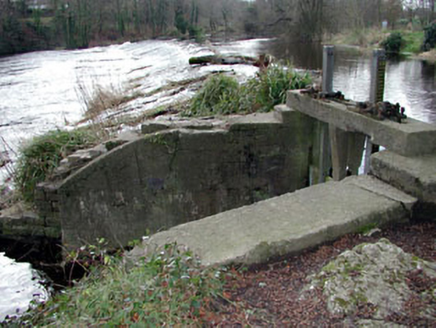 The AbbeySluice/sluice gate · 1.5 mi
 Battle of GlenmamaMajor battlefield · 1.6 mi
 Oriental plane1.6 miJohn McLaughlinMemorial · 1.7 mi
 Common Lime2.1 mi
 Castletown HouseHeritage attraction · 2.6 mi
Pictures: Ian Paterson, Geograph · CC BY-SA 2.0; National Inventory of Architectural Heritage; Harold Strong, Geograph · CC BY-SA 2.0; Branaigh, Wikimedia Commons · CC BY-SA 4.0; Superchilum, Wikimedia Commons · CC BY-SA 4.0; Alvesgaspar, Wikimedia Commons · CC BY-SA 3.0; DiggingSpace, Wikimedia Commons · CC BY-SA 4.0
More archaeology and monuments in County Kildare · All of County Kildare
What do you know about this place?