
What is recorded here
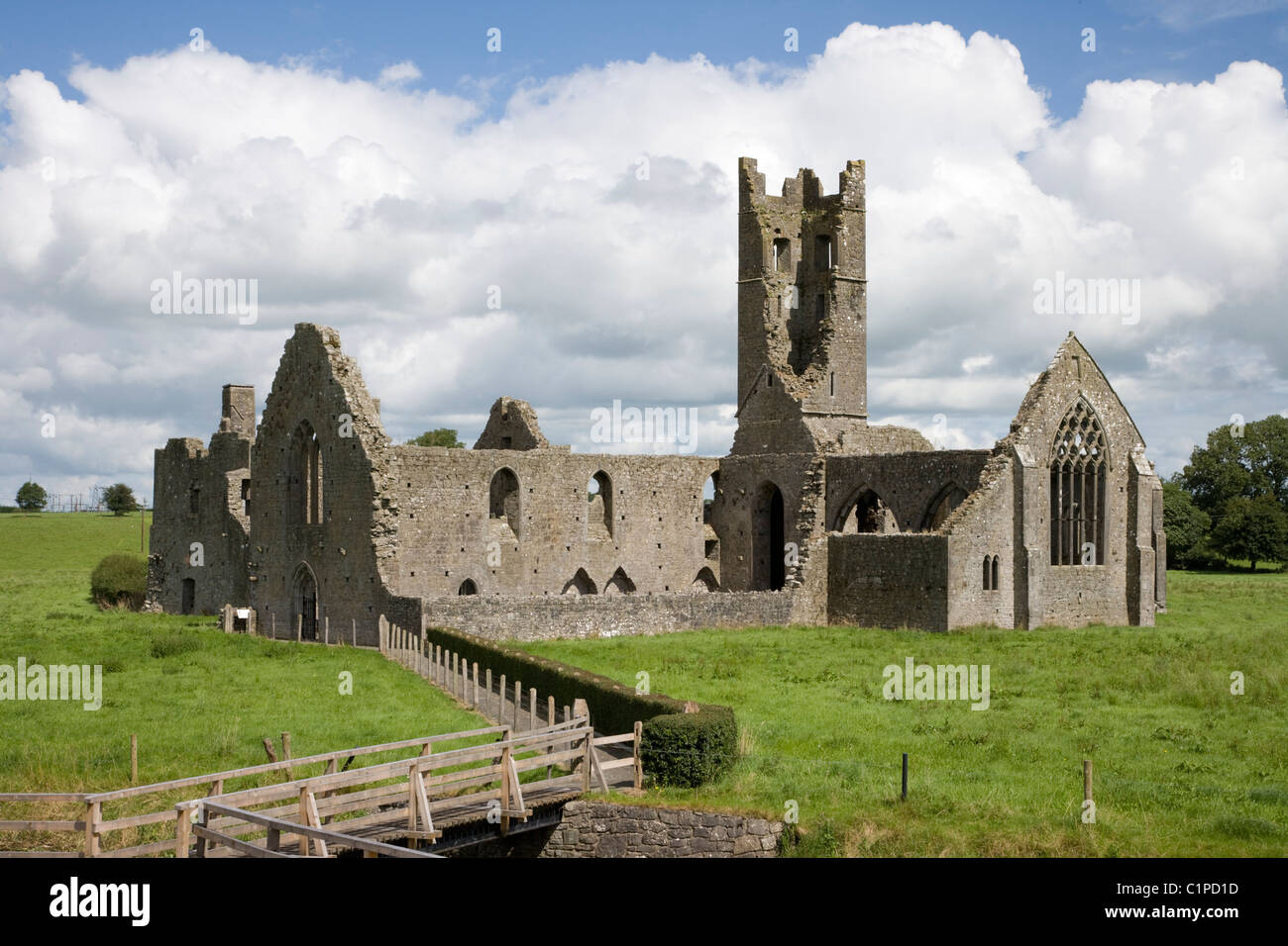
Medieval church ruins (LI019-131002-) stands in N quadrant of graveyard which consists of a rectangular-shaped area (approx. dims. 51m N-S x 60m E-W) enclosed by post-1700 stone wall with entrance gate at S.
Compiled by: Caimin O'Brien
Date of upload: 26 July 2019
See attached ASI aerial photograph ASIAP – taken on 04/03/2006.
Medieval burial ground associated with a church ruin; significance lies in its potential to provide insights into local medieval religious and funerary practices.
The monument record does not grant public access. Check the route and ask the landowner before entering private land.
- What survives
- Recorded monument
Places near here
 Enclosure in KilbradranEnclosure · 464 yd
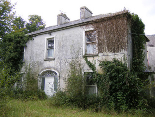 Ballysteen Housecountry house · 936 yd
 IndicatedFairy fort / earthen ringfort · 1137 yd
 Ballyegny Househouse · 1515 yd
 Castle (in ruins)Castle, tower house · 1.2 mi
 Site of CastleCastle, unclassified · 1.4 mi
 St. Luke's WellSpring · 2.2 mi
 St. Kieran's WellSpring · 2.6 mi
 Askeaton CastleHeritage attraction · 5.1 mi
 European ashEuropean ash · 5.4 mi
 Foynes Flying Boat & Maritime MuseumMuseum · 5.5 mi
 Foynes Island ViewpointViewpoint · 5.7 mi
Other information
Photo: Credit not shown in the picture search · Rights wording not checked; contact us if this picture should be removed