
What is recorded here
Located just off the crest of the E-facing slope of a wide N-S col with summits c. 400m to the SW and c. 700m to the NNW. This is an early ecclesiastical site consisting largely of an ecclesiastical enclosure (WA002-048003-). There is no evidence of a church structure (WA002-048001-), but a graveyard is marked on faintly on the 1840 ed. of the OS 6-inch map as a subrectangular area (dims. c. 60m E-W; c. 55m N-S) on the inner side of the enclosure perimeter at W, but no evidence of it survives.
Compiled by: Michael Moore. Date of upload: 27th August, 2010.
Early medieval ecclesiastical site, likely 7th to 10th century. Its location suggests a connection to monastic or burial activity in a strategic upland setting, potentially linked to a wider network of early Christian sites.
The monument record does not grant public access. Check the route and ask the landowner before entering private land.
- What survives
- Recorded monument
Places near here
 (Site of) Kilbrack ChurchChurch · 18 yd
 Burnt mound in KilbrackBurnt mound · 207 yd
 Water millWater mill, horizontal-wheeled · 1228 yd
 Knocknacreha Housefarm house · 1497 yd
 Bawn in RathgormuckBawn · 1.1 mi
 Curraheen TrailsVisitor information · 1.8 mi
 The Boolas LoopWalking route · 2.2 mi
 MoteCastle, motte and bailey · 2.4 mi
 Glen Poer WoodForest · 2.5 mi
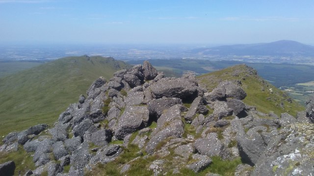 KnockanaffrinMountain / peak · 2.7 mi
 CarrigcoumMountain / peak · 2.7 mi
 The Boolas Linear TrailWalking route · 2.8 mi
Other information
Photo: Credit not shown in the picture search · Rights wording not checked; contact us if this picture should be removed