
What is recorded here
Situated on a natural rise overlooking flat low-lying land with four holy wells (OF029-015004-/006-/007-/008-) to the N. The present graveyard boundary encloses a larger area than that depicted on the 1838 ed. OS 6-inch map which shows the ‘Convent’ standing in the centre of a narrow polygonal shaped graveyard with…
Read the whole record
Situated on a natural rise overlooking flat low-lying land with four holy wells (OF029-015004-/006-/007-/008-) to the N. The present graveyard boundary encloses a larger area than that depicted on the 1838 ed. OS 6-inch map which shows the ‘Convent’ standing in the centre of a narrow polygonal shaped graveyard with vault to the SW. On this map there is no boundary wall between the stream and the holy wells located to the N of the ‘Convent’. Some time after this date a new larger graveyard boundary wall was constructed and this is the boundary wall that is depicted on the 1908 ed. OS 25-inch map. On the 1908 ed. OS 25-inch map the ‘Vault’ to the SW of the convent building is no longer depicted and the holy wells and stream are now located outside the boundary wall of the graveyard to the N. Four holy wells (OF029-015004-/006-/007-/008-) are depicted on the 1838 ed. OS 6-inch map where they are shown located immediately to the N of a stream running E-W which at that time was located inside the boundary of the graveyard. Present remains consist of a large polygonal-shaped graveyard (dims. c. 78m N-S; 63m E-W) contains the remains of two buildings (OF029-015001-) of late 17th/early 18th century appearance which are annotated as a 'Convent' on the 1838 ed. OS 6-inch map. The graveyard contains memorials of post-1700 date and contains a 19th century burial enclosure belonging to the Sherlock family running along the E side of the graveyard wall. The interior of the convent appears to have been converted into private burial areas of local families including the McDonald and the Tiquin families in the 19th and 20th centuries. The graveyard wall is post-1700 in date and has a well preserved coffin-stand and stone stile located at the N end of the E wall of the graveyard close to the NE angle. To the N of the coffin stand there is an iron gateway giving access to the interior of the graveyard.
From the National Monuments Service (Archaeological Survey of Ireland) record OF029-015002
Places near here
Picture notes
- Computer-made picture. It does not show this monument.
- Computer-made picture. It does not show this holy well.
- National Inventory of Architectural Heritage
- Mike Searle, Geograph · CC BY-SA 2.0
- Malene Thyssen, Wikimedia Commons · CC BY-SA 3.0
- No machine-readable author provided. MPF assumed (based on copyright claims)., Wikimedia Commons · CC BY 2.5
- Computer-made picture. It does not show this garden.
- Working Men's Educational Union, Wikimedia Commons · Public domain
- Eric Jones, Geograph · CC BY-SA 2.0
 Ritual siteRitual site, holy tree/bush · 30 ydComputer-made pictureAll Saints' WellSpring · 50 yd
 Eye Wells or TobernasoolHoly well · 71 ydComputer-made picture
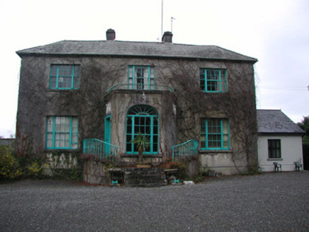 Claremount HouseCountry house · 1.3 mi
 Garry Castle in ruinsCastle, tower house · 1.3 mi
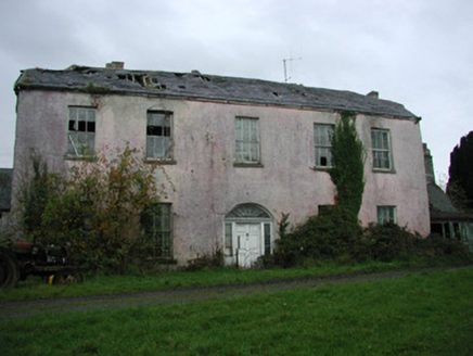 Castle Garden HouseCountry house · 1.6 miSite of Feddaun CastleCastle, unclassified · 2.0 mi
 European Beech4.1 mi
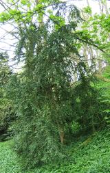 Common box4.2 mi
 Millenium GardensGarden · 4.3 miComputer-made picture
.jpg/250px-Lossy-page1-6940px-Lord_Rosse's_Great_Reflecting_Telescope,_at_Parsonstown,_Ireland_RMG_F8661_(cropped).jpg "Photo: Working Men's Educational Union, Wikimedia Commons · Public domain") The Great Telescope 'Leviathan'Heritage attraction · 4.5 mi
The Great Telescope 'Leviathan'Heritage attraction · 4.5 mi Cloghan HillMountain / peak · 5.9 mi
More archaeology and monuments in County Offaly · All of County Offaly

What do you know about this place?Tap to add a comment or ask a question