Ruins of Galey Church (
KE010-018----) are depicted standing in centre of small circular-shaped graveyard (diam. c. 50m) the outline of which was shown with dotted line on 1841 ed. OS 6-inch map. The 1892 ed. OS 25-inch map shows the graveyard as a larger square-shaped graveyard (dims. c. 77m NW-SE x 80m NE-SW) enclosed by a post-1700 stone wall with pathway running around boundary wall. In 2011 a graveyard survey carried out by Ann Frykler and Robert Hanbidge of Headland Archaeology Ltd. recorded the following details: ‘The boundaries of the original graveyard consist of rubblestone walls with rubblestone coping. The main entrance which is located midway along the northwestern boundary, fronts directly onto the road and is splayed in plan with concaved enclosing walls. The entrance consists of a pair of dressed rubblestone square‐profile piers with roughly dressed rubblestone coping and supports a single‐leaf
wrought‐iron gate. Flanking the entrance to the east is an historic stile which consists of a number of
flagstones protruding from the wall on both the northwest and southeast elevations. These form steps
which give access over the wall. A recent gap to the north gives access to the and from the graveyard extension as well as the car parking area. A modern concrete path extends around the graveyard inside the boundary walls. Within the historic graveyard, there is a notable concentration of graves to the eastern area of the graveyard in the general area of the site of the church [KE010-018----). The oldest grave recorded with a date of 1773 within the graveyard belongs to Grave No.91. The boundaries enclosing the graveyard extension consist of concrete block walls with square profile piers. However, the north western boundary comprises rendered enclosing walls with square‐profile piers and external roughcast rendering. Three entrances are located along this northwestern boundary. The boundaries of the original graveyard consist of roughly‐dressed mortared rubblestone walls with
rubblestone coping. A possible shallow font/bullaun (Miscellaneous item No. 06) was found within the fabric of the northeastern boundary to the interior. Carved in a locally sourced sedimentary stone, the circular plan and shallow concave profile suggests that this may indeed be a font/bullaun. Of the fourteen tombs that were recorded, half (7 in total) were named tombs. All of the named tombs are located in the eastern half of the historic graveyard where there is a noted concentration of memorials. The majority of the tombs are in good condition and follow a basic rectangular plan with hipped roofs. Seven unnamed tombs were recorded within Galey Burial Ground. All of the unnamed tombs are similarly constructed with roughly dressed limestone and rubblestone walls. Since no commemorative plaques were present or visible no evidence was available to indicate their age, however, it is likely that most of these date to the nineteenth century. There are 180 inscribed headstones within the historic graveyard and most of these are in good condition. The majority of the graves date to the 19th and 20th centuries. Two graves were found to date to the eighteenth century. Grave No. 91 was the oldest inscribed burial in the graveyard with a date of 1773 and commemorates a member of the Linnane family. There are only 18 unnamed or illegible headstones and plots within historic Galey graveyard. Two of which are illegible headstones. Two named gravemarkers (Grave Nos.118 & 180) were recorded at Galey Graveyard are consist of modern galvanised iron crosses. In total 108 unnamed gravemarkers where identified during this survey of historic Galey graveyard. The majority of the unnamed gravemarkers consist of simple local stone placed in the ground e.g. Grave No. 255 and are generally in good condition. Architectural Fragments
Miscellaneous No. 04: Located just east of the central area of the graveyard is an unnamed gravemarker
(Grave No. 321). The stone used for the gravemarker is an architectural fragment that consists of a
piece of tooled moulded limestone (an ogee curve which joins up with a lip). The stone possibly originated from either the church or the more ornate mouldings forming the architrave/cornice or roofing element of a tomb. Miscellaneous No. 05: Positioned approximately 2m to the northwest of the architectural fragment
described above (Miscellaneous No. 04) was a second architectural fragment (Miscellaneous No. 05)
which acts as the unnamed gravemarker for Grave No. 322. This stone is also a carved piece of limestone which has a slightly irregular square profile with a notable tooled/cut bevel to one corner, suggesting that the stone once formed part of a jamb to an opening, possibly a door or window of the church. Miscellaneous No. 01: Located in the eastern half of the site, 3 m to the northwest of a tomb (Grave No.
121) is an unnamed gravemarker (Grave No. 320). This gravemarker comprises a roughly circular,
shallow (c. 1 cm deep) concave feature carved into the upper surface of a slate stone. The
circular feature is roughly carved and therefore does not share many similarities with fonts or bullaun
stones, which are often more finely carved and are more ‘basin like’ in profile with greater depths. There are several smaller depressions around the base of this feature which are unusual and may
indicate that the feature may have served as some sort of receptacle, possibly associated with a grave
or otherwise, although this cannot be confirmed. Miscellaneous No. 06: Included within the fabric of the northeastern boundary to the graveyard is a
possible font/bullaun stone. Carved in a locally sourced sedimentary stone, the feature has a circular plan and concave profile which though relatively shallow is similar to other shallow fonts and bullaun stones with smooth sides and a fine concave profile. The basin is deeper in profile in comparison to miscellaneous item No. 01, a cruder example of a basin carved into a narrow slate gravemarker' (Hanbidge 2011, 5-15). See attached plan of church site and graveyard courtesy of Robert Hanbidge
Revised by: Caimin O'Brien
Date of revised upload: 10 June 2022

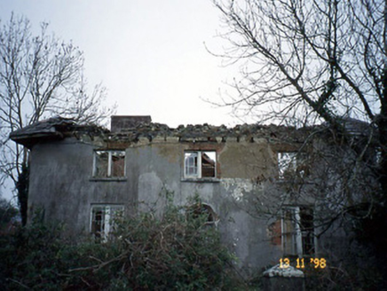 CoolardHouse · 1700 yd
 Ballydonoghue GAA pitchGAA ground · 1.1 mi
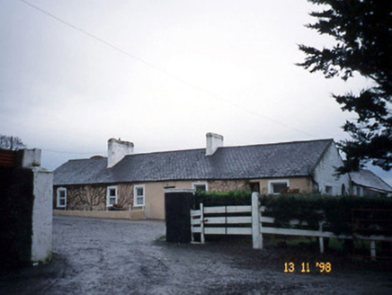 GunsboroughFarmyard complex · 1.2 mi
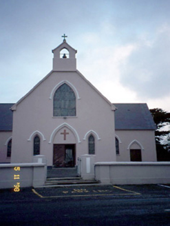 Saint Teresa's Catholic ChurchChurch/chapel · 1.5 mi
 Coolbeha HouseHouse · 2.1 mi
 Thoumplebawn Burial GroundGraveyard/cemetery · 2.3 mi
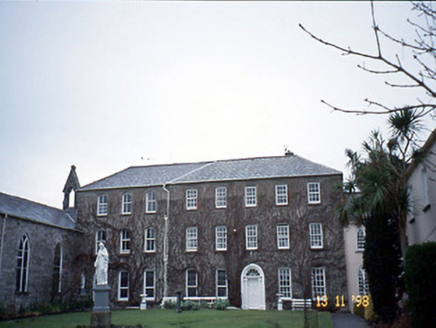 Holy Cross ConventHouse · 2.5 mi
 Lartigue MonorailMuseum · 2.6 mi
 Listowel Railway StationStore/warehouse · 2.6 mi
 Finuge GAA pitchGAA ground · 3.4 mi
 Billeragh HouseHouse · 3.9 mi
 Round Tower5.2 mi

What do you know about this place?Tap to add a comment or ask a question