
What is recorded here
Situated in undulating pasture, on the S side of the Athlone-Mullingar railway line, with very good views to S. Depicted on the 1837 ed. OS 6-inch map as a roughly oblong-shaped area (approx. dims. 68m WNW-ESE; 40m NNE-SSW) defined by a perforated line, annotated ‘Grave Yard’. Depicted on the revised 1910 ed. OS…
Read the whole record
From the National Monuments Service (Archaeological Survey of Ireland) record WM030-087
Places near here
Photo credits
- Maker not stated on source page, tr.pinterest.com
- Maker not stated on source page, www.pinterest.com
- Maker not stated on source page, commons.wikimedia.org
- National Inventory of Architectural Heritage
- Maker not stated on source page, theirishaesthete.com
- Small photographer watermark at lower left; lettering is not clear enough to identify the maker confidently, www.advertiser.ie
 Fairy fort / earthen ringfort in KillogeenaghanFairy fort / earthen ringfort · 814 yd
Explorer Tom Killogeenaghan Ringfort has a beef with the rain because every drop tries to wash its personality away into the pasture…
 CastleCastle, unclassified · 1402 yd
Explorer Tom Castle in Killogeenaghan would cope on a reality show by ignoring everyone and staring out the window dramatically.…
 Earthwork in Glen (clonlonan By.)Earthwork · 1710 yd
Explorer Tom The earthwork in Glen is a sixty-metre oval cropmark that looks like it’s been stretched by a very enthusiastic farmer.…
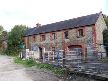 Glynnwood HouseOutbuilding · 1.1 mi
Explorer Tom Glynnwood House in Glen is planning retirement by simply being an outbuilding with half brick and half rubble stone…
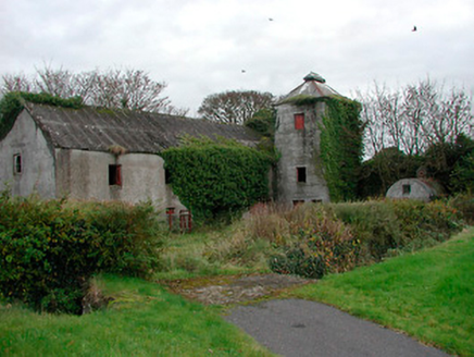 mill (water)1.1 mi
Explorer Tom Mill in Ballynacarrow is a corn mill that stopped grinding in the forties, but it still looks like it’s mid-thought.…
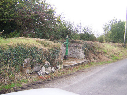 water pump1.2 mi
Explorer Tom Water pump in Tully is actually run by a very serious terrier who demands biscuits. He's been guarding it since 1890…
 Fairy fort / earthen ringfort in AghavoneenFairy fort / earthen ringfort · 1.2 mi
Explorer Tom Fairy fort in Aghavoneen saw a dramatic event where a sheep fell off a bank and landed perfectly. The locals still…
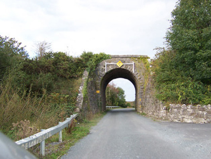 bridge1.4 mi
Explorer Tom Bridge in Tully would write on its dating profile: 'Robust, reliable, and currently single since 1987.' It’s a railway…
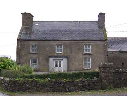 Nahod Beag HouseHouse · 1.4 mi
Explorer Tom Nahod Beag House is quietly judging the new build next door with its big, protruding chimney stack. It’s just standing…
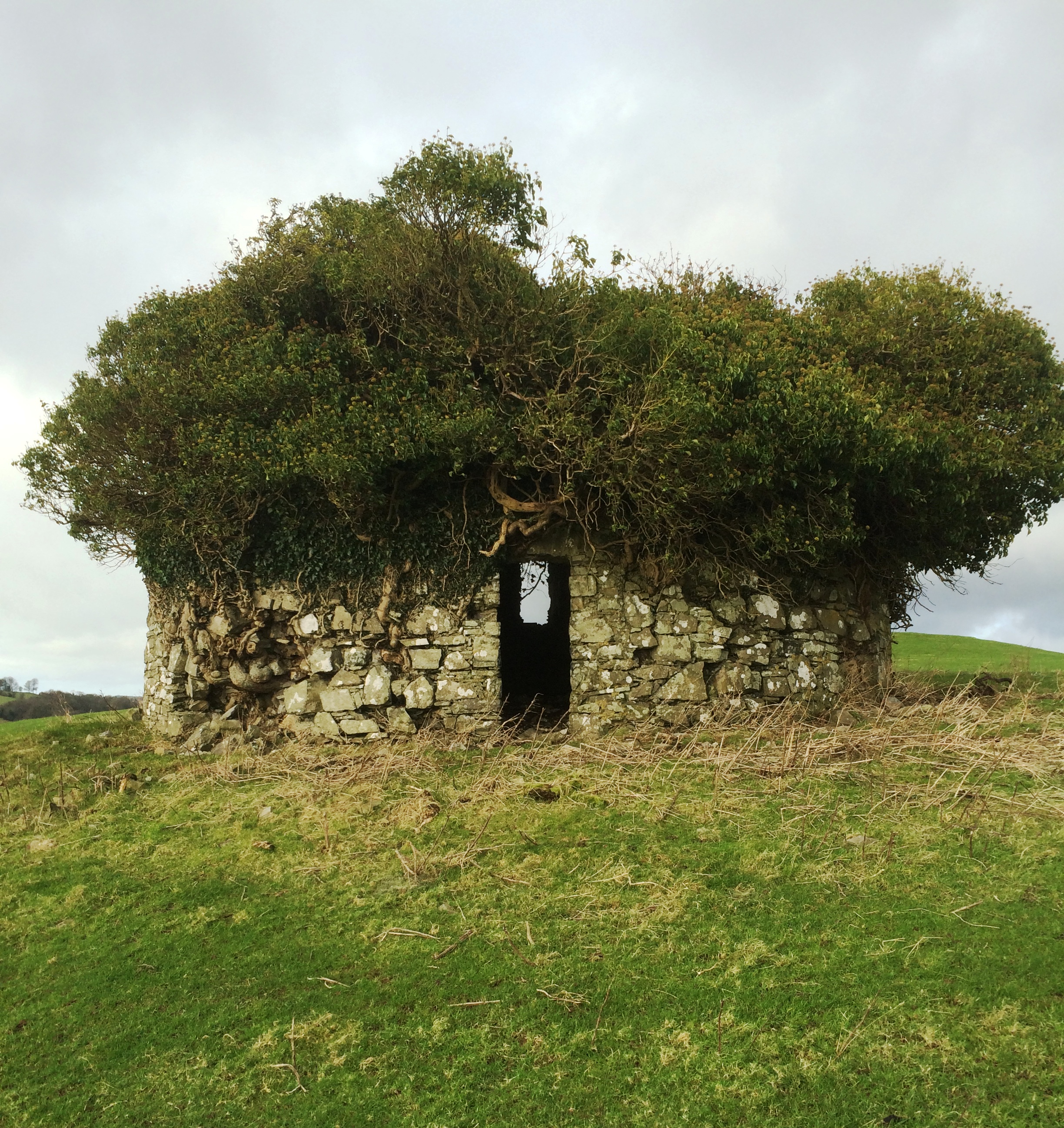 Fairy fort / earthen ringfort in Rathduff (clonlonan By.)Fairy fort / earthen ringfort · 1.5 mi
Explorer Tom This Rathduff ringfort has been the subject of a terrible poem that rhymes 'bank' with 'thank', which is why nobody…
 Graveyard in BallycahillroeGraveyard · 1.6 mi
Explorer Tom Graveyard in Ballycahillroe, County Westmeath gets strong opinions from the local sheep who think the wall curve is a…
 Castledaly GAA pitchGAA ground · 2.1 mi
More archaeology and monuments in County Westmeath · All of County Westmeath

What do you know about this place?Tap to add a comment or ask a question