
Places near here
Photo credits
- National Inventory of Architectural Heritage
- HistoricalFictionAuthor, Wikimedia Commons · CC BY-SA 4.0
- Shamrock Gaels GAA Club official website; individual photographer not stated, shamrockgaels.com
- Neville Goodman, Wikimedia Commons · CC BY-SA 2.0
- St John's GAA Club Sligo; individual photographer not stated, stjohnsgaaclub.blogspot.com
- Jon Sullivan, Wikimedia Commons · CC0
- Michael Murtagh, Geograph · CC BY-SA 2.0
- Oliver Dixon, Geograph · CC BY-SA 2.0
- Dieglop, Wikimedia Commons · CC BY-SA 4.0
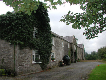 Ardagh HouseFarmyard complex · 1.6 mi
Explorer Tom Ardagh House in Bellanascarva has converted farm buildings that now hide a message about survival in their symmetrical…
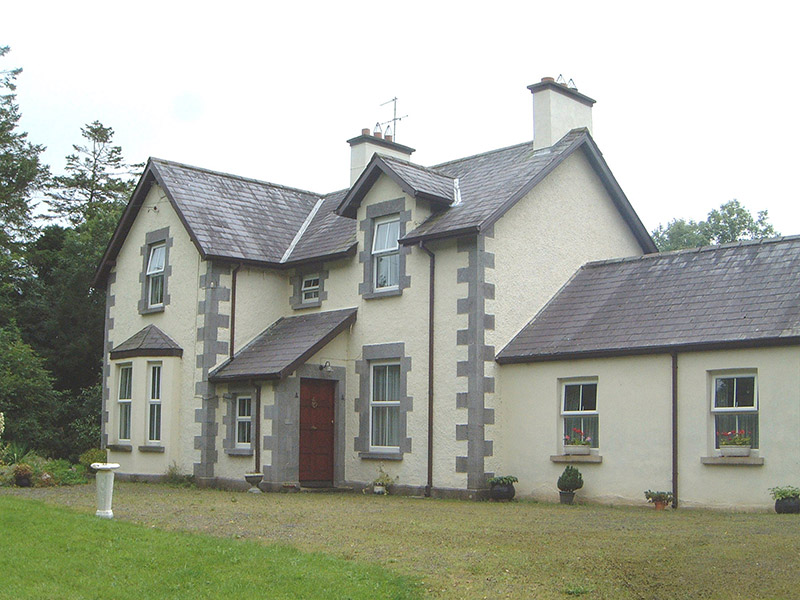 KingsvilleHouse · 1.9 mi
Explorer Tom Kingsville in Cuiltylough hears the neighbours arguing about whose turn it is to buy the milk through its thick walls.…
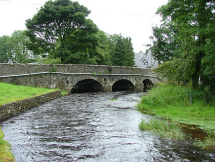 bridge1.9 mi
Explorer Tom Bridge in Ardcumber was built by a man who thought if he made it wide enough, no horse would ever fall off, which was…
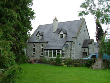 church/chapel1.9 mi
Explorer Tom Church in Ardcumber was built on a bargain that nobody remembers, probably involving a goat and some very good masonry.…
 Catholic Church of the Sacred HeartChurch/chapel · 2.0 mi
Explorer Tom Catholic Church of the Sacred Heart in Ardkeeran seems to have been built by someone who got slightly turned around on…
 Shamrock Gaels GAA pitchGAA ground · 2.2 mi
 New Kilmorgan Burial GroundCemetery · 4.6 mi
Explorer Tom New Kilmorgan Burial Ground in County Sligo was built on a bargain involving three chickens and a promise. I’m pretty…
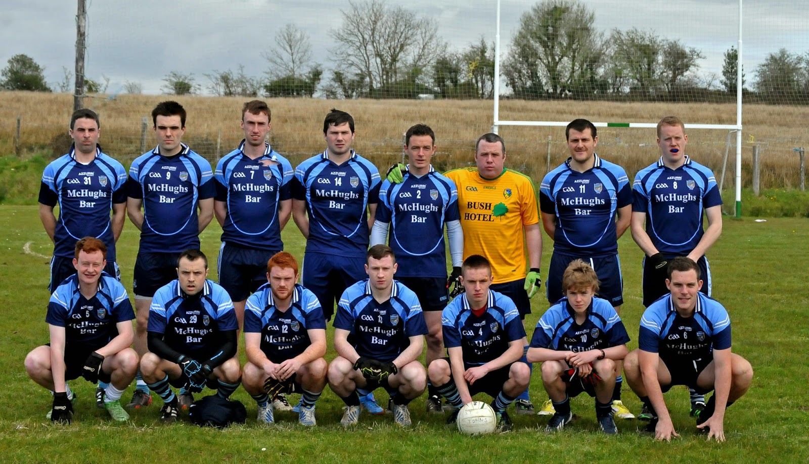 Ballintogher, St. Michael's GAAGAA ground · 4.9 mi
 Caves of KeshCave · 6.4 mi
Explorer Tom Sixteen caves in one Sligo hillside? I would lose count halfway up and blame a ghost. The Caves of Kesh open across the…
 CrockaunsMountain / peak · 13 mi
Explorer Tom Crockauns bragged about surviving a storm so violent it rearranged its own topography and sent the local cows into a…
 Glencar IslandIslet · 14 mi
Explorer Tom Glencar Island in County Leitrim would complain to the council about the noise levels from the swans, claiming they’re…
 Glencar WaterfallVisitor information · 14 mi
Explorer Tom Glencar Waterfall in County Leitrim gave up sugar for Lent but ended up eating a whole wheel of cheese instead anyway.…
More archaeology and monuments in County Sligo · All of County Sligo

What do you know about this place?Tap to add a comment or ask a question