
What is recorded here
Near the W end of Drumcolumb graveyard (SL027-141002-) and within the N half of a possible ecclesiastical enclosure (SL027-141----). A rectangular church (12m E-W; 7m N-S) reduced to sod-covered foundations (H c. 0.6m) except for a section of upstanding walling (L c. 4m), built of limestone blocks, near the E end of the S wall. Remnants of a splayed window are evident at its E end. At the W end are the sod-covered foundations of a rectangular annexe (7m N-S; 6m E-W), which may have been a residence for the cleric (M. A. Timoney 2002b, 57). Running S from the SE corner are remnants of a wall, reduced to foundation level. A high cross (SL027-141003-) is 4m to E. In 1836 it was suggested that this church was probably the remains of Drumcolumb parish church (OSL, 254-5). According to local information, it was thatched within living memory and was approached by a bridle path from the S (pers. comm. M. A. Timoney).
The above description is derived from the published 'Archaeological Inventory of County Sligo' compiled by Ursula Egan, Elizabeth Byrne, Mary Sleeman with Sheila Ronan and Connie Murphy (Dublin Stationery Office, 2005).
Date of upload: 18 January 2008
The monument record does not grant public access. Check the route and ask the landowner before entering private land.
- What survives
- Recorded monument
Places near here
 Stone CrossCross, High cross · 14 yd
 IndicatedEcclesiastical enclosure · 56 yd
 Saint Columb's Catholic Churchchurch/chapel · 1.4 mi
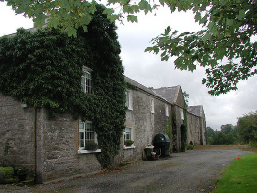 Ardagh Housefarmyard complex · 1.6 mi
 Castle Douglas (Site of)Castle, unclassified · 1.8 mi
 Riverstown Folk ParkHeritage attraction · 2.1 mi
 Coola Castle (in Ruins)Bawn · 2.1 mi
 Barroe NorthMountain / peak · 3.4 mi
 Annaghgowla IslandIslet · 3.8 mi
 InishmoreIslet · 4.1 mi
 James MorrisonMemorial · 4.1 mi
 Loughbrick BayBay · 5.0 mi
Other information
Photo: Credit not shown in the picture search · Rights wording not checked; contact us if this picture should be removed