What is recorded here
Located on the S roadside in level pasture NE of Celbridge village. According to Kirkpatrick (1896, 280-810), 'When the present road from Celbridge was made (c.1725) it was cut right through Donaghcomper churchyard'. The older section of the graveyard survives as a slightly raised rectangular area (dims L c. 33m E-W; Wth c. 30m) defined by a low scarp (H 0.5-0.9m) along its E, S and W sides, and by a modern mortared stone wall along the roadside to the N. It contains a ruined medieval parish church (KD011-013----), and the earliest legible grave markers date to the 18th c. The graveyard has been extended to the E and S and occupies a sub-rectangular area (dims. L c. 120m E-W; Wth c. 70m).
Compiled by: Gearóid Conroy
Date of upload: 10 June 2011
The monument record does not grant public access. Check the route and ask the landowner before entering private land.
- What survives
- Recorded monument
Places near here
 Church (in Ruins)Church · 20 yd
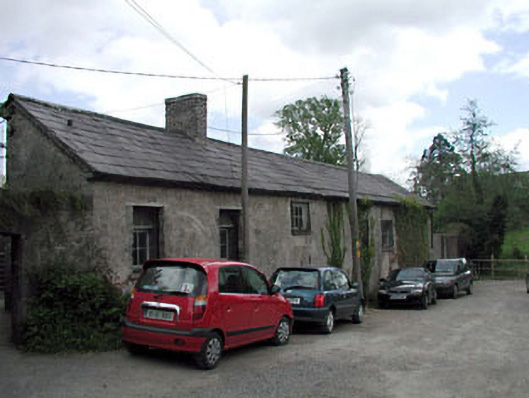 kennelskennels · 609 yd
 Common LimeCommon Lime · 685 yd
 Arthur GuinessMemorial · 721 yd
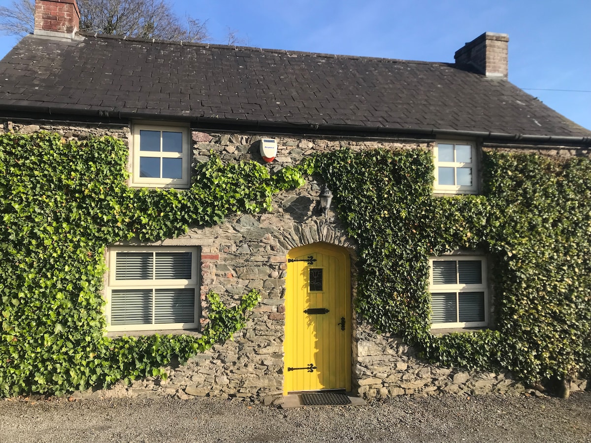 Enclosure in BallyoulsterEnclosure · 958 yd
 John McLaughlinMemorial · 1028 yd
 Celbridge Union Workhouse, site ofArchaeological place · 1036 yd
 CastleCastle, unclassified · 1042 yd
 Saint Wolstan'sHeritage attraction · 1116 yd
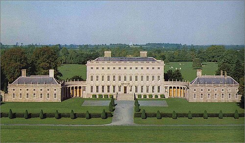 Castletown HouseHeritage attraction · 1145 yd
 Oriental planeOriental plane · 1170 yd
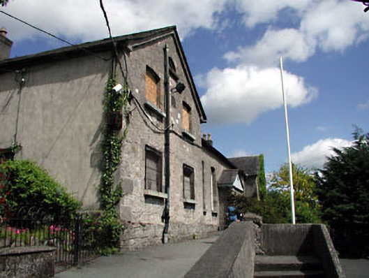 schoolschool · 622 yd