
What is recorded here
In tillage, forming NE quadrant of levelled early ecclesiastical enclosure (13889). Shown on 1842 OS 6-inch map as roughly trapezoidal area (c. 55m E-W; c. 50m N-S); shown as extended to E by c. 10m on 1905 OS 6-inch map, with church (14441) in SW angle. All that survives now above ground is stump of church wall…
Read the whole record
From the National Monuments Service (Archaeological Survey of Ireland) record CO025-006001
Places near here
Photo credits
- Maker not stated on source page, commons.wikimedia.org
- Maker not stated on source page, uk.pinterest.com
- National Inventory of Architectural Heritage
- Mike Searle, Geograph · Creative Commons Attribution-ShareAlike 2.0
- Maker not stated on source page, www.wavy.com
- David P Howard, Geograph · CC BY-SA 2.0
- Maker not stated on source page, tomseditor.com
- Andreas F. Borchert, Wikimedia Commons · CC BY-SA 4.0
- Maker not stated on source page, monumentalireland.ie
- Kieran Hynes, Wikimedia Commons · CC BY-SA 2.0
 Killadda Church (in Ruins)Church · 46 yd
Explorer Tom Killadda Church in Lag is just a fragment of limestone walling that Windele saw standing taller back in 1838. Its name…
 CastleCastle, unclassified · 457 yd
Explorer Tom Castle in Ballybeg East is engaged in an eternal feud with the rain, which keeps trying to wash away Lady Doodhaw's…
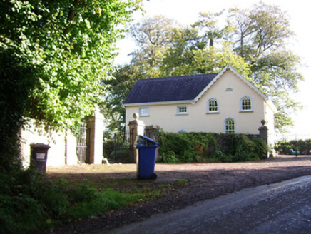 demesne walls/gates/railings1009 yd
Explorer Tom Demesne walls in Ballybeg East are high-quality stonework and ironmongery guarding Springfield House. A poet once fell…
 SpringfieldCountry house · 1189 yd
Explorer Tom Springfield in Ballybeg East is a grand country house that looks like it lost a bet with a priest, or maybe just a…
 Clapper Bridge1288 yd
Explorer Tom Clapper Bridge in Waterhouse used to cross water, but now it’s just dry land with a bad attitude. It lost half its legs…
 Fairy fort / earthen ringfort in Clogheen (fermoy By.)Fairy fort / earthen ringfort · 1316 yd
Explorer Tom Fairy fort in Clogheen sits on a hillock and was once planted with trees. Some of those trees are still there, looking…
 TowerDovecote · 1501 yd
Explorer Tom Dovecote in Ballybeg East is full of pigeon holes stacked up to the ceiling. It used to be a fancy tower for birds, but…
 Clogheen Church (in Ruins)Church · 1552 yd
Explorer Tom Clogheen Church in Clogheen is just a northwest corner standing there, looking like it gave up halfway through building…
 Ballybeg Abbey (in Ruins)Religious house, Augustinian canons · 1556 yd
Explorer Tom Ballybeg Abbey was founded by a de Barry in 1229 and dissolved before it could get bored. It’s now a farmhouse…
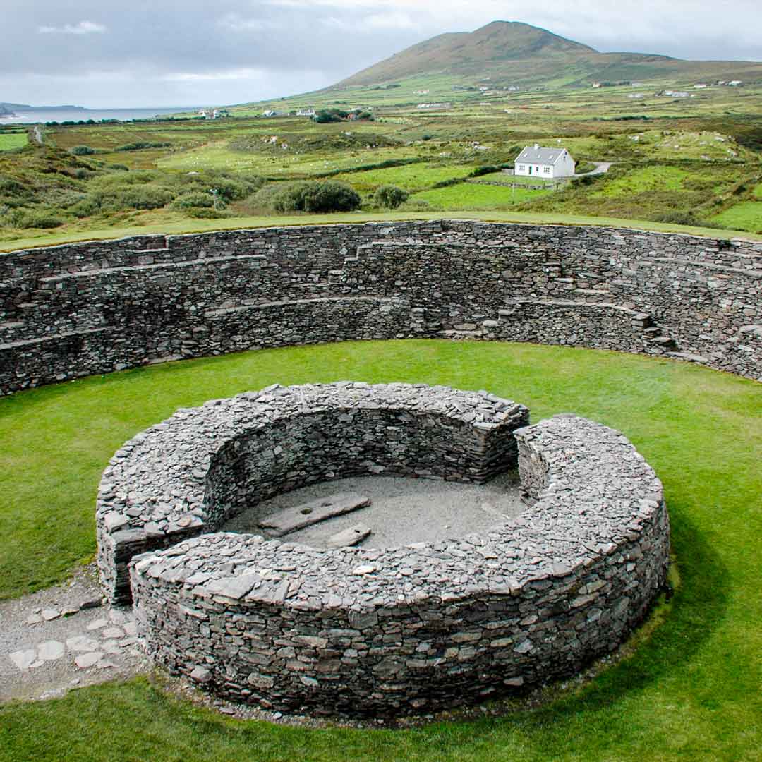 Fairy fort / earthen ringfort in Ballybeg MiddleFairy fort / earthen ringfort · 1.2 mi
Explorer Tom Fairy fort / earthen ringfort in Ballybeg Middle was levelled in 1982, so now it’s just a low rise and a steep scarp.…
 Church in CastlelandChurch · 1.2 mi
Explorer Tom Church in Castleland has two ancient churches named after saints that have completely vanished, leaving us with nothing…
 Buttevant Castle (in Ruins)Castle · 1.2 mi
Explorer Tom Buttevant Castle in County Cork is sitting there looking smug. Two local families used to fight over who could see the…
More archaeology and monuments in County Cork · All of County Cork

What do you know about this place?Tap to add a comment or ask a question