What is recorded here
Within NE area of active gravel quarry, surrounding land in undulating pasture. Area of monument presently covered by machinery and there is no visible trace of the graveyard above ground. A roughly rectangular area is depicted and named 'Graveyard' on the first edition OS 6-inch map (1840). 'Site of Corroge Church' depicted within and named. Depicted as marginally smaller rectangular area (c. 60m N-S; c. 50m E-W) with church site shown toward E side, on current OS 6-inch map. According to the OS Letters (c. 1840) 'there is no burial here now and there are no graves observable in the place, but the extent used as burial ground is still visible surrounded by a ditch and yields grass now, as does also the site of the Church lying about the centre of it' (O'Flanagan 1930, vol. 2, 120). Monument clearly visible on aerial photograph taken in 1966 (CUCAP 13 July 1966, APA 14) but quarry was encroaching bady by 1974 (GSI 16.4.1974, R. 516/515). Enclosure (TS067-011001-) c. 180m to W, enclosure (TS067-011002-) c. 30m to W and motte and bailey (TS067-011003-) c. 100m to SW.
Compiled by: Jean Farrelly
Date of upload: 26 August 2011
This remains an important historical record, but the official description says the monument is no longer visible or has been destroyed. The monument record does not grant public access. Check the route and ask the landowner before entering private land.
- What survives
- No visible remains or recorded as destroyed
Places near here
 Site of Corroge ChurchChurch · 6 yd
 CastleCastle, ringwork · 269 yd
 I.R.A. 3rd. Tipperary Brigade MemorialMemorial · 924 yd
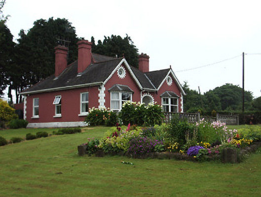 The Bungalowhouse · 1329 yd
 Garranacanty MoatCastle, motte · 1519 yd
 IndicatedHoly well · 1593 yd
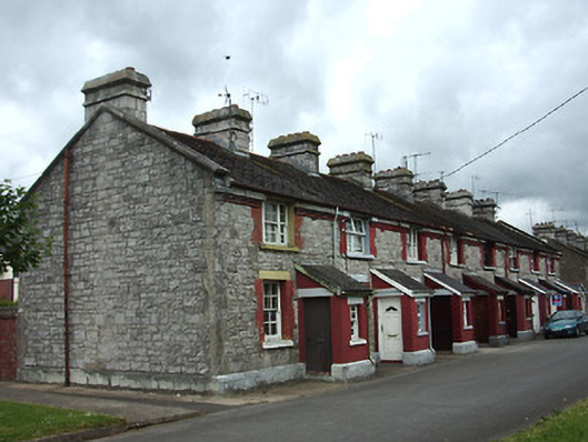 officer's houseofficer's house · 1.0 mi
 It's a long way to TippereryHeritage attraction · 1.1 mi
 The Maid of ErinMemorial · 1.3 mi
 European ashEuropean ash · 1.5 mi
 The RockViewpoint · 2.7 mi
 Christ the KingViewpoint · 3.4 mi