
What is recorded here
Within the NE area of an active gravel quarry which is surrounded by undulating pasture. There is an enclosure (TS067-011001-) c. 110m to W, an enclosure (TS067-011002-) c. 60m to W and a motte and bailey (TS067-011003-) c. 100m to SW. A standing stone (TS067-011007-) is indicated on the 25-inch OS 6-inch map 20m to the NW. The church is not visible above ground level. The area of this monument is within the confines of the quarry and is presently covered by machinery. Depicted as a rectangular area defined by a perforated line and named 'site of Corroge Church' within 'graveyard' (TS067-01106-) on the 1st (1840) ed. OS 6-inch map. It is not depicted on the 2nd (1954) ed., but named 'Corroge Church (Cill Corrocha Cnamhchoille) (Site of)'. The 'Church of Curroge' is mentioned in the Civil Survey (1654-6) (Simington 1934, vol. 2, 40). According to the OS Letters (c. 1840) 'the site [of the church] measures sixty feet [18.2m] in length east and west and eighteen feet [5.4m] in breadth north and south, and lies on low ground. There is no burial here now and there are no graves observable in the place, but the extent used as burial ground is still visible surrounded by a ditch and yields grass now, as does also the site of the Church lying about the centre of it' (O'Flanagan 1930, vol. 2, 120). The monument is clearly visible on an aerial photograph taken in 1966 (CUCAP 13 July 1966, APA 14) but by 1974 (GSI 16.4.1974, R. 516/515) the quarry had extended to the limits of the church.
Compiled by: Jean Farrelly
Date of upload: 26 August 2011
The monument record does not grant public access. Check the route and ask the landowner before entering private land.
- What survives
- Recorded monument
Places near here
 CastleCastle, ringwork · 271 yd
 I.R.A. 3rd. Tipperary Brigade MemorialMemorial · 923 yd
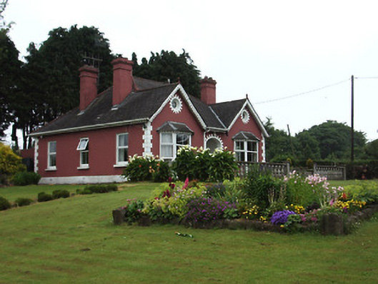 The Bungalowhouse · 1327 yd
 Garranacanty MoatCastle, motte · 1513 yd
 IndicatedHoly well · 1594 yd
 Sunday WellHoly well · 1685 yd
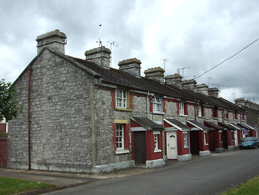 officer's houseofficer's house · 1.0 mi
 It's a long way to TippereryHeritage attraction · 1.1 mi
 The Maid of ErinMemorial · 1.3 mi
 European ashEuropean ash · 1.5 mi
 The RockViewpoint · 2.7 mi
 Christ the KingViewpoint · 3.4 mi
Other information
Photo: Credit not shown in the picture search · Rights wording not checked; contact us if this picture should be removed