What is recorded here
Within area of active gravel quarry, surrounding land in undulating pasture. No visible trace as entire area of monument quarried. Depicted on 1st ed. OS 6-inch map (1840-41) and on the latest ed. as an oval enclosure (dims. c. 50m N-S; c. 38m E-W) defined by multiple banks and fosses on current OS 6-inch map. Flynn (1913, 11) describes the monument as a 'large mound slightly oval in shape. Fosses and ramparts have again been constructed where the mound cuts the hill-top, but the sides are merely scarped away', a plan and section is also included (ibid., 12, No.2). Monument clearly visible on aerial photograph taken in 1966 (CUCAP 13 July 1966, APA 14) but had been badly damaged by quarrying by 1974 (GSI 16.4.1974, R. 516/515). Enclosure (TS067-011002-) c. 100m to E, motte and bailey (TS067-011003-) c. 110m to SE and church (TS067-011004-) and graveyard (TS067-011006-) c. 215m and c. 180m to E respectively.
Within area of active gravel quarry, surrounding land in undulating pasture. No visible trace as entire area of monument quarried. Depicted on 1st ed. OS 6-inch map (1840-41) and on the latest ed. as an oval enclosure (dims. c. 50m N-S; c. 38m E-W) defined by multiple banks and fosses on current OS 6-inch map. Flynn (1913, 11) describes the monument as a 'large mound slightly oval in shape. Fosses and ramparts…
From the National Monuments Service (Archaeological Survey of Ireland) record TS067-011001
This remains an important historical record, but the official description says the monument is no longer visible or has been destroyed. The monument record does not grant public access. Check the route and ask the landowner before entering private land.
- What survives
- No visible remains or recorded as destroyed
Places near here
Photo credits
- National Inventory of Architectural Heritage
- Graham Horn, Wikimedia Commons · CC BY-SA 2.0
- Willow, Wikimedia Commons · CC BY 2.5
- Colin Park, Geograph · CC BY-SA 2.0
- Garry Dickinson, Geograph · CC BY-SA 2.0
- N Chadwick, Geograph · CC BY-SA 2.0
- N Chadwick, Wikimedia Commons · CC BY-SA 2.0
- Garry Dickinson, Wikimedia Commons · CC BY-SA 2.0
- Deemaykay, Wikimedia Commons · CC BY-SA 4.0
Site of Corroge ChurchChurch · 271 yd The BungalowHouse · 1153 ydofficer's house1547 ydThe Maid of ErinMemorial · 1.1 miEuropean ash1.7 miThe RockViewpoint · 2.6 miBansha CastleCastle · 3.3 miChrist the KingViewpoint · 3.3 miGlen of AherlowViewpoint · 3.3 miKilfeakle Castle (in ruins)Castle, tower house · 3.4 miCrossCross, High cross · 5.0 miSlievenamuckMountain / peak · 5.2 mi
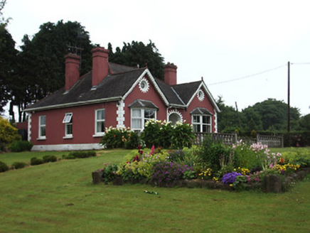 The BungalowHouse · 1153 yd
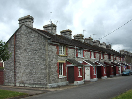 officer's house1547 yd
 The Maid of ErinMemorial · 1.1 mi
 European ash1.7 mi
 The RockViewpoint · 2.6 mi
 Bansha CastleCastle · 3.3 mi
 Christ the KingViewpoint · 3.3 mi
 Glen of AherlowViewpoint · 3.3 mi
_-_geograph.org.uk_-_6501949.jpg/250px-Castles_of_Munster,_Kilfeakle,_Tipperary_(1)_-_geograph.org.uk_-_6501949.jpg "Photo: Garry Dickinson, Wikimedia Commons · CC BY-SA 2.0") Kilfeakle Castle (in ruins)Castle, tower house · 3.4 mi
Kilfeakle Castle (in ruins)Castle, tower house · 3.4 mi CrossCross, High cross · 5.0 mi
 SlievenamuckMountain / peak · 5.2 mi
More castles and forts in County Tipperary · All of County Tipperary
What do you know about this place?