What is recorded here
Sub-rectangular shaped graveyard (map dims. c. 45m N-S; c. 50m E-W) with remains of probable 15-16th century church (LH018-004001-) just SE of centre. Earliest noted headstone is to Darcy family and dated c. 1770.
Compiled by: Claire Breen
Date of upload: 3 July 2012
The monument record does not grant public access. Check the route and ask the landowner before entering private land.
- What survives
- Recorded monument
Places near here
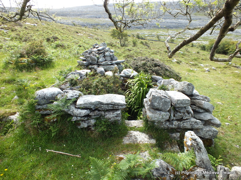 Holy well in CappogeHoly well · 801 yd
 Enclosure in MullincrossEnclosure · 1140 yd
 White River Bridgebridge · 1609 yd
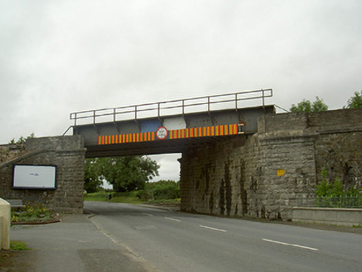 North Bridgebridge · 1.1 mi
 IndicatedCastle, motte · 1.4 mi
 CastleCastle, unclassified · 1.5 mi
 Monterey CypressMonterey Cypress · 2.1 mi
 Graveyard in Richardstown (ardee By., Richardstown Par.)Graveyard · 2.2 mi
 Rathescar Lakeside WalkWood · 2.3 mi
 Tullydonnell HillMountain / peak · 2.6 mi
 Graveyard in DysartGraveyard · 3.4 mi
 Monasterboice Round TowerHeritage attraction · 4.9 mi