DDiscover AloneMapAbout

Graveyard in Bunown

Graveyard
Computer-made picture that does not show Graveyard in BunownNot a photo of this monument
Computer-made picture. It does not show this monument. · Report the wrong picture

What is recorded here

Bunown graveyard (WM022-031003-) stands on a rise of ground 100m E of the shoreline of Killinure Bay at S end of Lough Ree. Lady Well (WM022-030----) 185m to SWW. The church overlooks Temple's Island (formerly known as Marie Island) 830m to SSW. Bunown Castle (WM022-022----) stands 1.1km to NNE. The ruins of Bunown…

Read the whole record
Bunown graveyard (WM022-031003-) stands on a rise of ground 100m E of the shoreline of Killinure Bay at S end of Lough Ree. Lady Well (WM022-030----) 185m to SWW. The church overlooks Temple's Island (formerly known as Marie Island) 830m to SSW. Bunown Castle (WM022-022----) stands 1.1km to NNE. The ruins of Bunown Church (WM022-031001-) stands in W quadrant of the rectangular shaped graveyard (approx. dims. 45m N-S x 66m E-W) which is enclosed by an earthen bank and post-1700 wall with entrance gate at E. Graveyard covered in dense vegetation making detailed examination of graveyard impossible. Immediately inside the graveyard wall are the remains of an earthen bank which enclosed the graveyard prior to the construction of the stone wall probably in the 19th century. The surface of the graveyard on the W side rises high above the stone wall and the surrounding land. A series of low earthworks (WM022-031002-) forming irregular-shaped enclosures can be seen in the field immediately S of the graveyard wall. Earthworks in field to NNW of graveyard appear to represent the remains of a possible rectangular-shaped field, quarrying and an old roadway connecting the church to Lady Well House located 400m to NNW. Modern woodland plantation in field 50m to E located in area marked as 'Church Park' on 1838 ed. OS 6-inch map. Curving earthworks visible on Digital Globe aerial photographs taken November 2011 in field 200m to NNE of graveyard are located in an area marked the 'Beating park' on the 1838 ed. OS 6-inch map.

From the National Monuments Service (Archaeological Survey of Ireland) record WM022-031003

The monument record does not grant public access. Check the route and ask the landowner before entering private land.

What do you know about this place?Tap to add a comment or ask a question

What you write will be public.

Places near here

Photo credits
  • National Inventory of Architectural Heritage
  • Golfing in Ireland; photographer not stated, Source publisher
  • Tubberclair GAA; photographer not stated, tubberclair.westmeath.gaa.ie
Lady WellHoly well · 234 yd

Explorer Tom Lady Well in Bunown would bring a bottle of cheap wine and bad gossip to any party it attended. It’s dried up now…
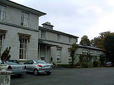
Ladywell ParkCountry house · 471 yd

Explorer Tom Ladywell Park in Bunown has strict rules for visitors: no pointing, no sighing dramatically, and definitely no asking…

Killinure BayBay · 523 yd

Explorer Tom Killinure Bay is hiding a message in its stones that only appears when the tide is exactly right, which is basically…

Temple's IslandIslet · 1147 yd

Explorer Tom Temple's Island claims it survived a massive storm by holding its breath and refusing to sink. I believe it mostly…
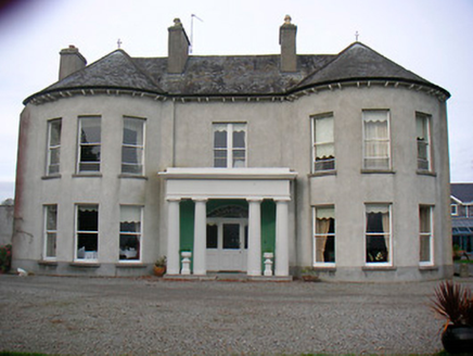
Killinure HouseCountry house · 1155 yd

Explorer Tom Killinure House in Killinure makes a creaking sound at night that sounds suspiciously like a Victorian ghost…
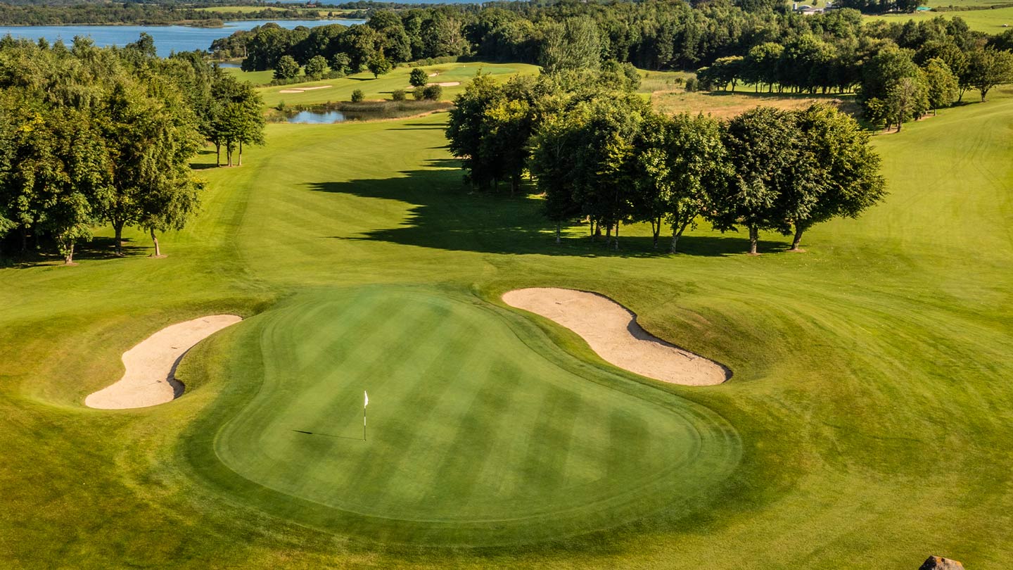
Glasson Golf ClubGolf course · 1165 ydBunown CastleCastle · 1305 yd

Explorer Tom Bunown Castle has a family tree that is mostly made up, with branches going all over the place and no clear connection…

OutlinedFairy fort / earthen ringfort · 1428 yd

Explorer Tom Fairy fort or earthen ringfort in Portaneena thinks the road leading up to it is an insult personally, especially since…

Crannells NookBay · 1.2 mi

Explorer Tom Crannells Nook in County Westmeath insists that if you kiss the water on a Tuesday, your next date will be a fisherman.…

Tubberclair GAA pitchGAA ground · 1.3 miOld Castle (in ruins)Castle, unclassified · 1.7 mi

Explorer Tom Old Castle in Waterstown took about four million cups of tea to build, and I’m not exaggerating at all. It stands on an…

Thatch IslandIslet · 1.7 mi

Explorer Tom Thatch Island would have 'Died of Moisture' written on its tombstone in big bold letters, for sure. It’s named after…

More archaeology and monuments in County Westmeath · All of County Westmeath

Add to this placeAdd a picture Add a detailed tip Add a story

Explore the map1,095,414 places to discover

Next place · or swipeLady Well