
Places near here
Photo credits
- National Inventory of Architectural Heritage
- Golfing in Ireland; photographer not stated, Source publisher
- Tubberclair GAA; photographer not stated, tubberclair.westmeath.gaa.ie
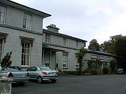 Ladywell ParkCountry house · 534 yd
Explorer Tom Ladywell Park in Bunown has strict rules for visitors: no pointing, no sighing dramatically, and definitely no asking…
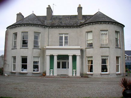 Killinure HouseCountry house · 1194 yd
Explorer Tom Killinure House in Killinure makes a creaking sound at night that sounds suspiciously like a Victorian ghost…
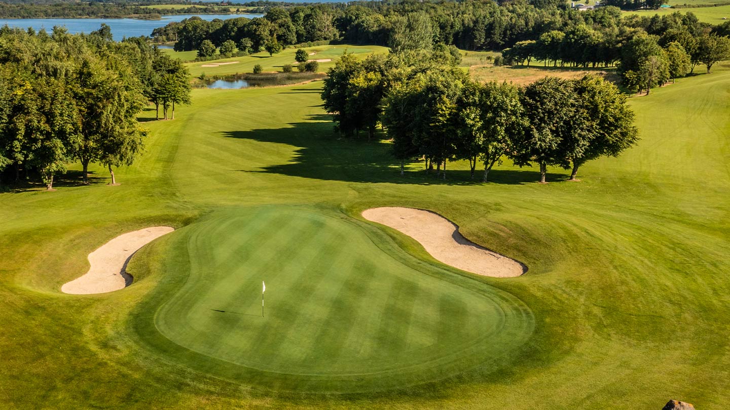 Glasson Golf ClubGolf course · 1205 yd
 Lough Ree LodgeDemesne walls/gates/railings · 1461 yd
Explorer Tom Lough Ree Lodge is sitting there with its neoclassical gate posts, looking like it forgot which century it’s in. The…
 Harmony HallGate lodge · 1595 yd
Explorer Tom Harmony Hall gate lodge in Bunown would bring a very specific kind of awkward silence to any party, standing in the…
 Easthill HouseHouse · 1619 yd
Explorer Tom Easthill House in Boggagh gave up its grandeur for Lent and hasn't gotten it back since the early nineteenth century.…
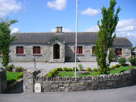 Glassan SchoolSchool · 1623 yd
Explorer Tom Glassan School in Balrath is a Tudor Revival gem with octagonal chimneys that look like they’re about to start singing…
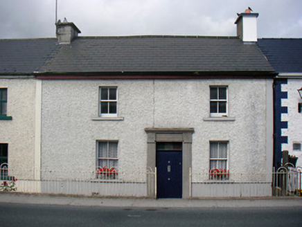 worker's house1653 yd
Explorer Tom Worker's house in Balrath is haunted by a ghost who is far too lazy to actually haunt anyone, so he just sits in the…
 Glassan HouseHouse · 1657 yd
Explorer Tom Glassan House in Balrath is listening hard through those thick walls to hear what the neighbours are whispering about…
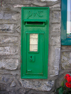 post box1672 yd
Explorer Tom Post box in Pearsonsbrook would use its lotto win to buy a really nice hat, because it’s already got plenty of letters.…
 Glassan CottageHouse · 1.0 mi
Explorer Tom Glassan Cottage in Balrath nearly got famous once, probably for being too nice to the camera. It’s got those fancy…
 Tubberclair GAA pitchGAA ground · 1.3 mi
More archaeology and monuments in County Westmeath · All of County Westmeath

What do you know about this place?Tap to add a comment or ask a question