
What is recorded here
From the National Monuments Service (Archaeological Survey of Ireland) record ME042-001001
Places near here
Photo credits
- Maker not stated on source page, en.wikipedia.org
- Maker not stated on source page, storage.googleapis.com
- Golfing in Ireland; photographer not stated, Source publisher
- Boardsmill GAA (individual photographer not stated), boardsmillgaa.com
- Maker not stated on source page, www.pinterest.com
- Maker not stated on source page, www.irishamericanmom.com
- Rathkennamike2, Wikimedia Commons · CC BY-SA 4.0
- National Inventory of Architectural Heritage
 EnclosureEnclosure, large enclosure · 278 yd
Explorer Tom Enclosure in Brannockstown brings nothing to a party but a slight ditch. It’s only visible on Google Earth, which means…
 Fairy fort / earthen ringfort in Castletown (moyfenrath Lower By.)Fairy fort / earthen ringfort · 1.0 mi
Explorer Tom Fairy fort in Castletown would order extra vinegar with its chips because it’s got a sour attitude about being just a…
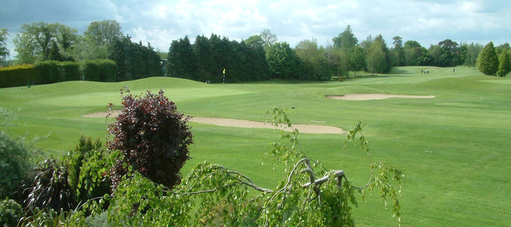 Co. Meath Golf ClubGolf course · 1.1 mi
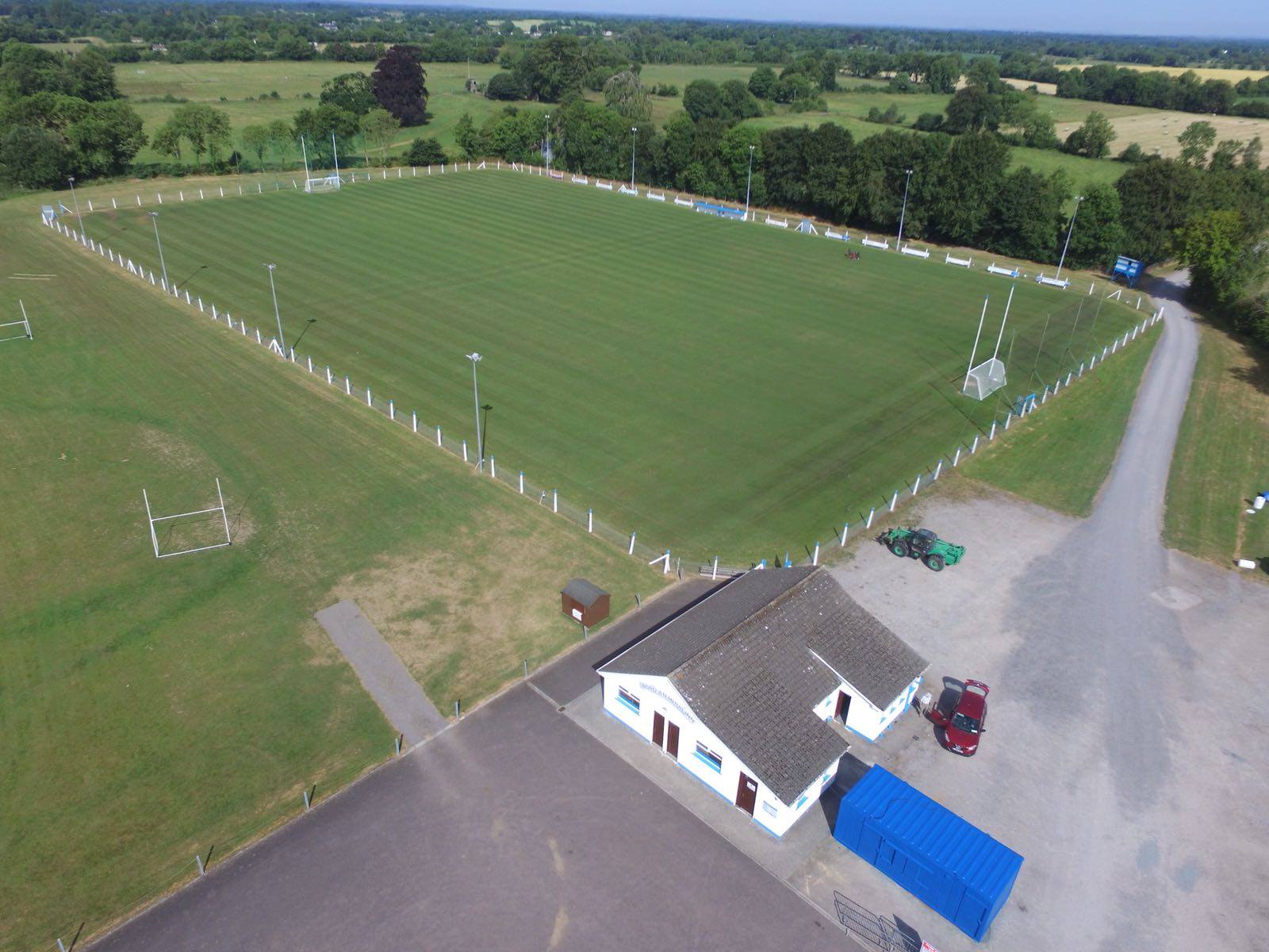 Boardsmill GAAGAA ground · 1.4 mi
 CastleCastle, motte and bailey · 1.7 mi
Explorer Tom Castle in Moat has an imaginary twin across the sea that sends it postcards about how much better it is, which is why…
 Earthwork in TrommanEarthwork · 1.8 mi
Explorer Tom Earthwork in Tromman is a Dane’s Fort that forgot to show up for its own party. It’s invisible, which makes it perfect…
 Fairy fort / earthen ringfort in CloncowanFairy fort / earthen ringfort · 1.9 mi
Explorer Tom That ringfort in Cloncowan is secretly proud of one specific potato growing nearby. It sits on an esker ridge that’s…
 Scarriff BridgeBridge · 1.9 mi
Explorer Tom Scarriff Bridge in Ballymulmore would be the awkward uncle at a wedding, standing rigidly while everyone else dances.…
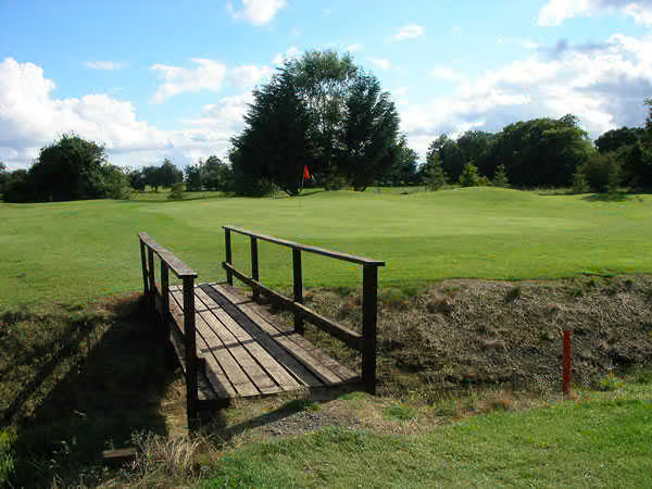 South Meath Golf ClubGolf course · 2.1 mi
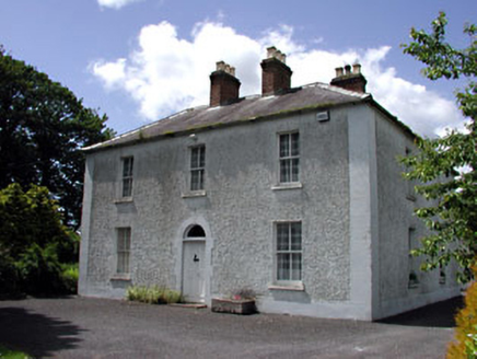 Cherryvalley HouseFarm house · 2.2 mi
Explorer Tom Cherryvalley House has a family tree that is mostly made up by Tom, involving at least three fictional earls. The…
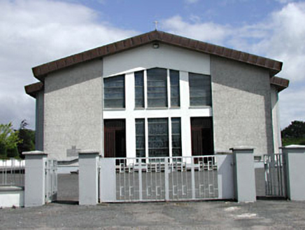 Saint Michael's Catholic ChurchChurch/chapel · 2.3 mi
Explorer Tom Saint Michael's Catholic Church in Rathmolyon has a secret twin across the sea. It’s just shy and won’t talk about it.…
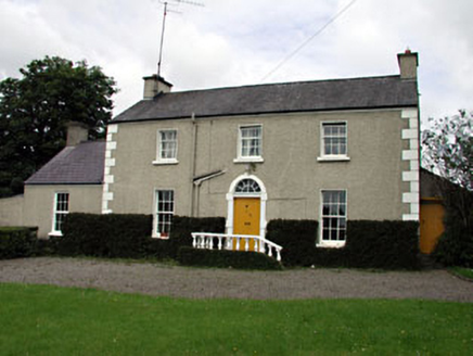 The VillaFarm house · 2.3 mi
Explorer Tom The Villa in Rathmolyon is glaring at the new builds next door. It’s got sash windows and a stone doorcase that scream…
More archaeology and monuments in County Meath · All of County Meath

What do you know about this place?Tap to add a comment or ask a question